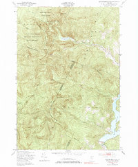
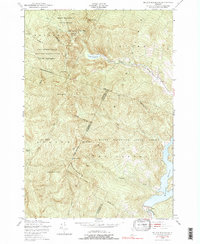
1948 Map of Bolton Mountain
USGS Topo · Published 1985About this map
Mount Mansfield State Forest dominates this topographic survey, revealing a landscape defined by high peaks and strategic military use in the late 1940s. The northwestern corner is occupied by the Fort Ethan Allen Military Reservation, including an Artillery Target Range, showing the intersection of Vermont's public forest lands with mid-century defense infrastructure. The terrain is marked by significant summits like Bolton Mountain, Mount Mayo, and Bone Mountain, separated by deep gaps such as Nebraska Notch.
Find a feature on this map
36 named features on this map. Tap any name to fly to it.
Don’t see what you’re looking for? This feature index may not catch every label — zoom into the map to look around manually.
Map Details
Editions of this 1948 Bolton Mountain Map
5 editions found
Other maps of this area

1919 · Montpelier
USGS Topo · 1:62,500

1921 · Richmond
USGS Topo · 1:48,000

1921 · Montpelier
USGS Topo · 1:62,500

1924 · Camels Hump
USGS Topo · 1:62,500

1925 · Mount Mansfield
USGS Topo · 1:48,000

1927 · Mount Mansfield
USGS Topo · 1:62,500

1927 · Hyde Park
USGS Topo · 1:48,000

1930 · Hyde Park
USGS Topo · 1:62,500
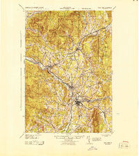
1943 · Hyde Park
USGS Topo · 1:62,500

1944 · Montpelier
USGS Topo · 1:62,500