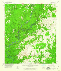
1959 Map of Bon Wier
USGS Topo · Published 1960About this map
The Sabine River snakes through the center of this 1959 survey, defining the border between Texas and Louisiana. The landscape is a complex network of oxbow lakes and wetlands, including Horseshoe Lake, Alligator Lake, and Wilson Lake, alongside extensive swamp features like Rattlesnake Slough. This era captures the region's dual reliance on timber and petroleum, with the Santa Fe and Colorado railroad serving settlements like Bon Wier and Merryville, while significant oil development is evident at the Bivens Oil Field and Bear Head Creek Oil Field.
Find a feature on this map
76 named features on this map. Tap any name to fly to it.
Don’t see what you’re looking for? This feature index may not catch every label — zoom into the map to look around manually.
Map Details
Editions of this 1959 Bon Wier Map
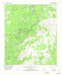
2 editions found
Other maps of this area

1935 · Wilson Lake
USGS Topo · 1:31,680

1946 · Merryville
USGS Topo · 1:31,680

1947 · Singer
USGS Topo · 1:31,680

1947 · Pujo
USGS Topo · 1:31,680

1947 · Carter Creek
USGS Topo · 1:31,680

1947 · DeQuincy
USGS Topo · 1:31,680

1947 · Oretta
USGS Topo · 1:31,680

1947 · Wilson Lake
USGS Topo · 1:31,680

1947 · Hyatt
USGS Topo · 1:31,680

1947 · Bivens
USGS Topo · 1:31,680