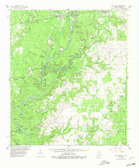
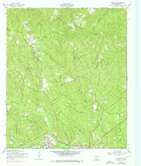
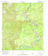
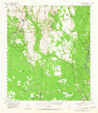
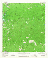
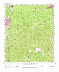
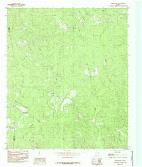
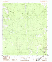
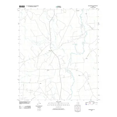
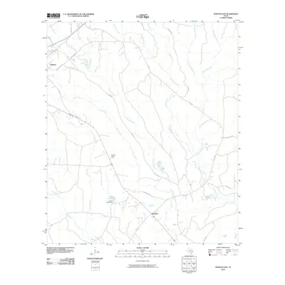
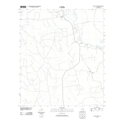
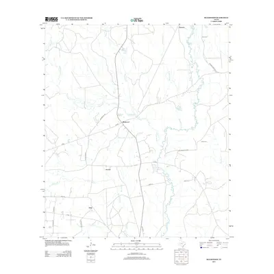
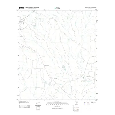
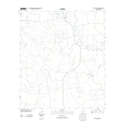
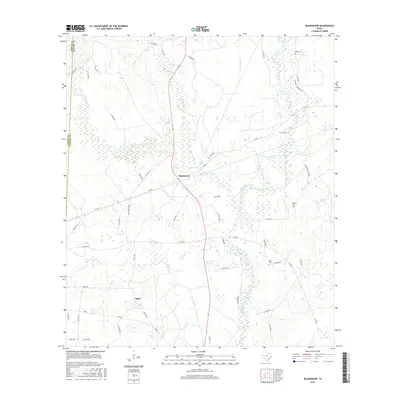
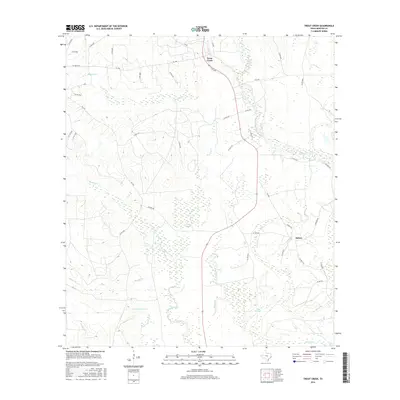
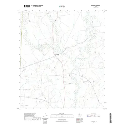
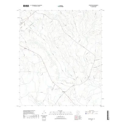
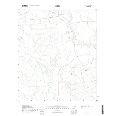
1959 Map of Bon Wier
USGS Topo · Published 1961About this map
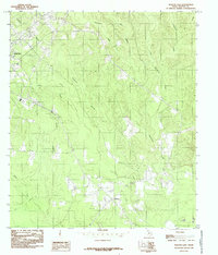
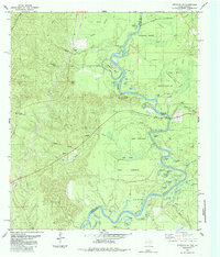
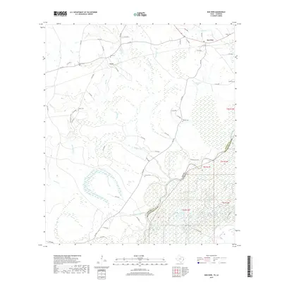
The Sabine River serves as the winding boundary between Texas and Louisiana, carving through a landscape of dense bottoms and oxbow lakes such as Horseshoe Lake and Alligator Lake. In 1959, the area around Bon Wier and Belgrade was defined by its timber and petroleum interests, with the Bancroft Oil Field and Bear Head Creek Oil Field punctuating the wooded terrain. The Santa Fe railroad line crosses the river north of Caney Island, connecting the small settlements that dot the piney woods.
Find a feature on this map
78 named features on this map. Tap any name to fly to it.
Don’t see what you’re looking for? This feature index may not catch every label — zoom into the map to look around manually.
Map Details
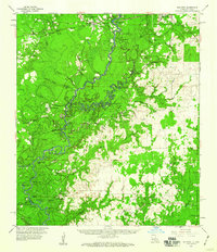
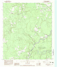
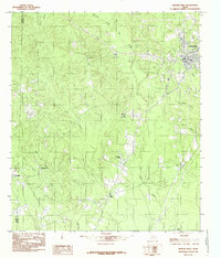
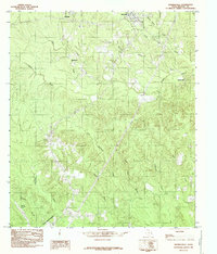
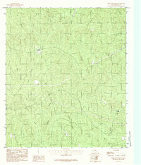
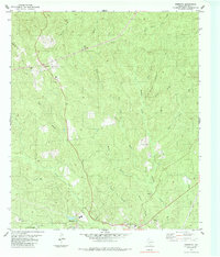
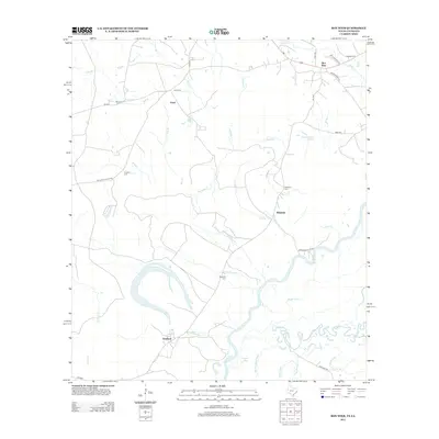
Editions of this 1959 Bon Wier Map
2 editions found
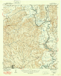
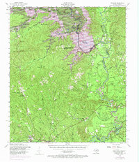
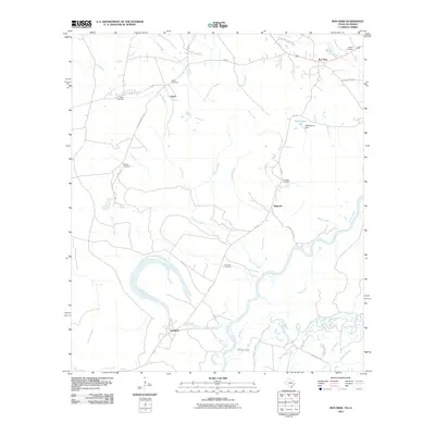
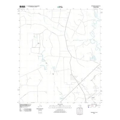
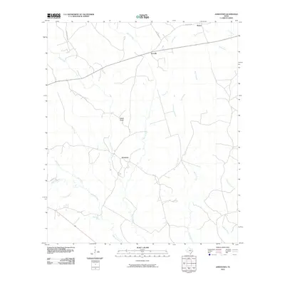
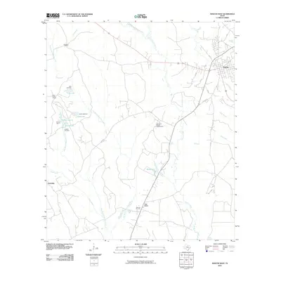
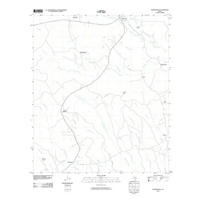
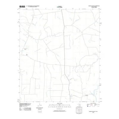
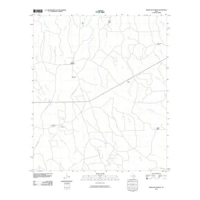
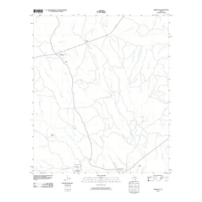
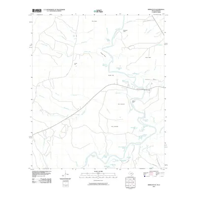
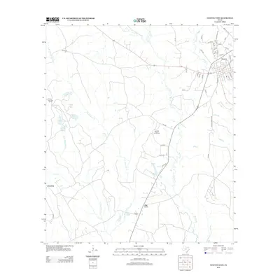
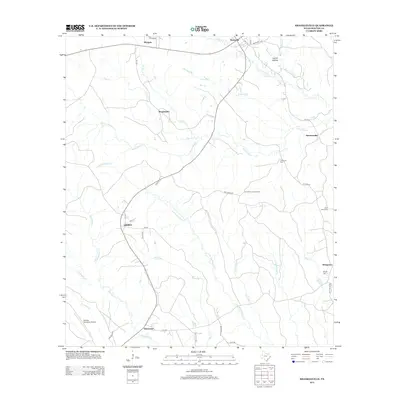
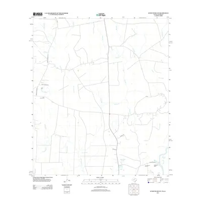
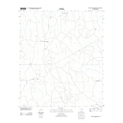
Historical Maps of Merryville Through Time
81 maps found
1944 Wiergate
Newton County, TX

1948 Wiergate
Newton County, TX
1954 Wiergate
Newton County, TX
1954 Wiergate
Newton County, TX
1954 Wiergate SE
Newton County, TX
1955 Bessmay
Newton County, TX
1957 Brookeland
Newton County, TX
1959 Bon Wier
Newton County, TX
1969 Brookeland
Newton County, TX
1982 Bon Wier
Newton County, TX
1984 Bleakwood
Newton County, TX
1984 Hartburg
Newton County, TX
1984 Jamestown
Newton County, TX
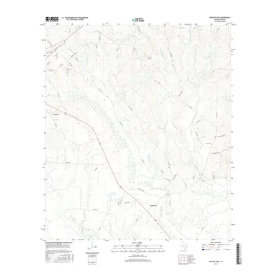
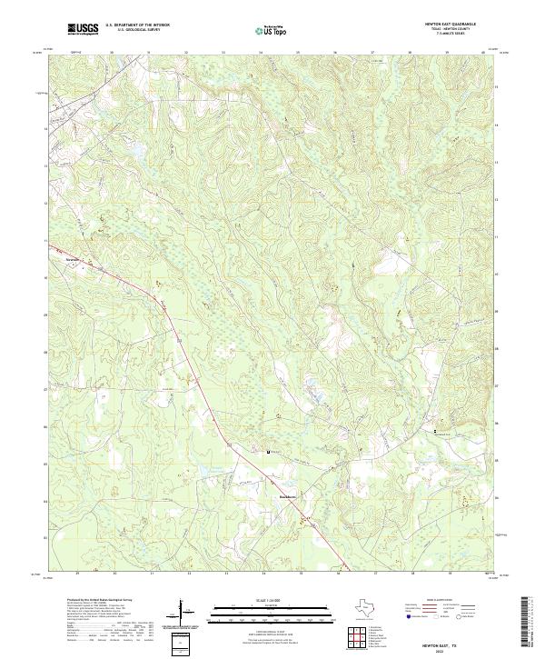
1984 Newton East
Newton County, TX
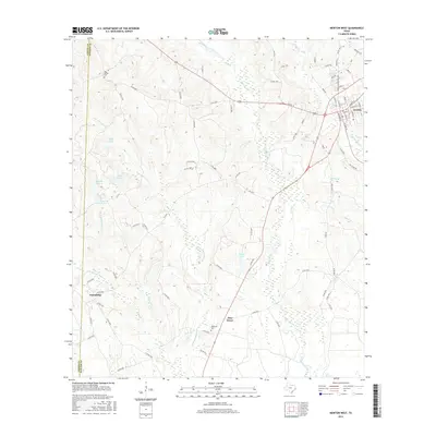
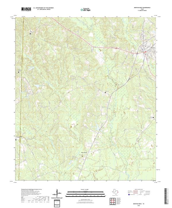
1984 Newton West
Newton County, TX
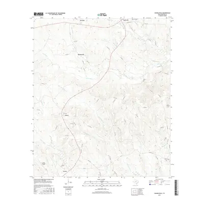
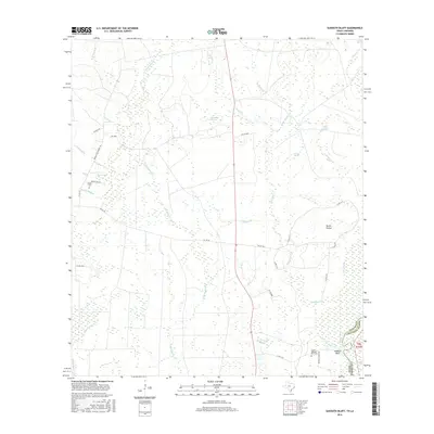
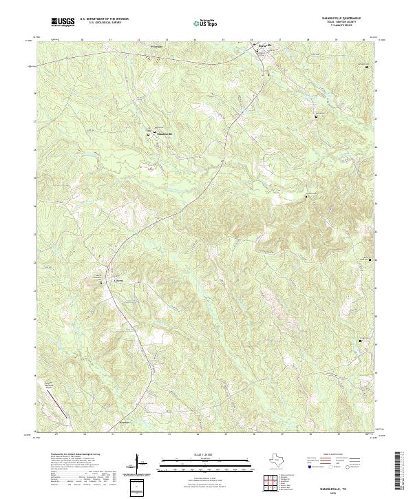
1984 Shankleville
Newton County, TX
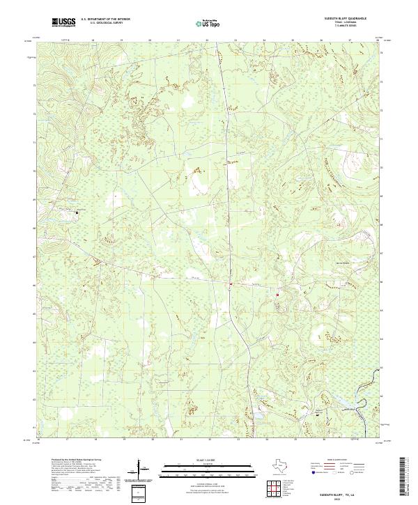
1984 Sudduth Bluff
Newton County, TX

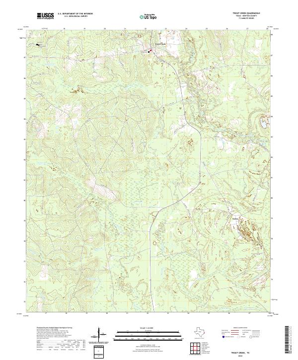
1984 Trout Creek
Newton County, TX
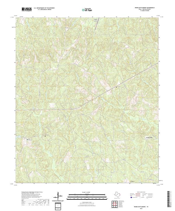
1984 Weeks Settlement
Newton County, TX
1985 Wiergate
Newton County, TX
1985 Wiergate SE
Newton County, TX
2010 Bleakwood
Newton County, TX
2010 Bon Wier
Newton County, TX
2010 Hartburg
Newton County, TX
2010 Jamestown
Newton County, TX
2010 Newton East
Newton County, TX
2010 Newton West
Newton County, TX
2010 Shankleville
Newton County, TX
2010 Sudduth Bluff
Newton County, TX
2010 Trout Creek
Newton County, TX
2010 Weeks Settlement
Newton County, TX
2010 Wiergate
Newton County, TX
2010 Wiergate SE
Newton County, TX
2012 Bleakwood
Newton County, TX
2012 Bon Wier
Newton County, TX
2012 Hartburg
Newton County, TX
2012 Jamestown
Newton County, TX
2012 Newton East
Newton County, TX
2012 Newton West
Newton County, TX
2012 Shankleville
Newton County, TX
2012 Sudduth Bluff
Newton County, TX
2012 Trout Creek
Newton County, TX
2012 Weeks Settlement
Newton County, TX
2012 Wiergate
Newton County, TX
2012 Wiergate SE
Newton County, TX
2016 Bleakwood
Newton County, TX
2016 Bon Wier
Newton County, TX
2016 Hartburg
Newton County, TX
2016 Jamestown
Newton County, TX
2016 Newton East
Newton County, TX
2016 Newton West
Newton County, TX
2016 Shankleville
Newton County, TX
2016 Sudduth Bluff
Newton County, TX
2016 Trout Creek
Newton County, TX
2016 Weeks Settlement
Newton County, TX
2016 Wiergate
Newton County, TX
2016 Wiergate SE
Newton County, TX
2019 Bleakwood
Newton County, TX
2019 Bon Wier
Newton County, TX
2019 Hartburg
Newton County, TX
2019 Jamestown
Newton County, TX
2019 Newton East
Newton County, TX
2019 Newton West
Newton County, TX
2019 Shankleville
Newton County, TX
2019 Sudduth Bluff
Newton County, TX
2019 Trout Creek
Newton County, TX
2019 Weeks Settlement
Newton County, TX
2019 Wiergate
Newton County, TX
2019 Wiergate SE
Newton County, TX
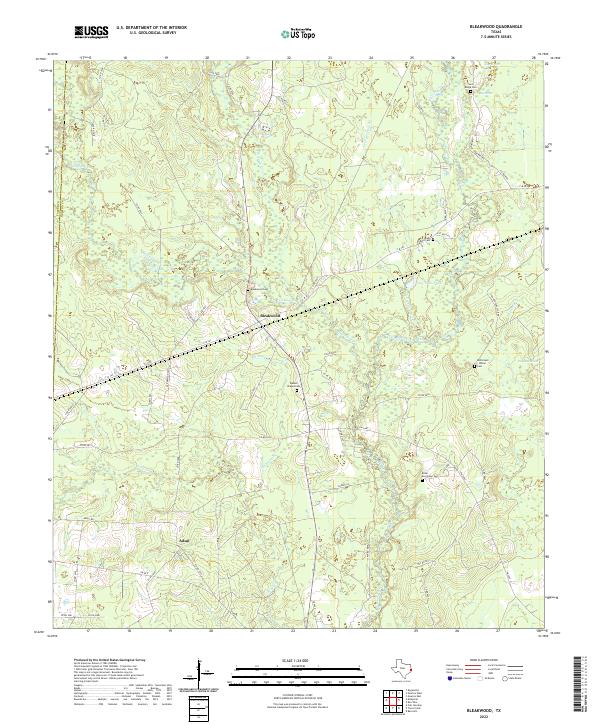
2022 Bleakwood
Newton County, TX
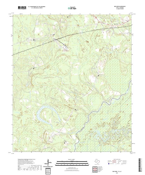
2022 Bon Wier
Newton County, TX
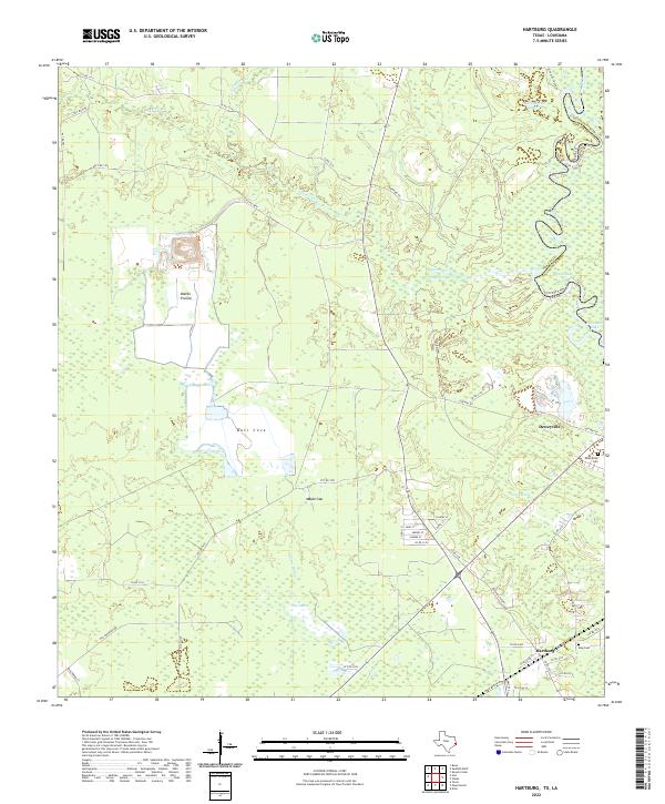
2022 Hartburg
Newton County, TX
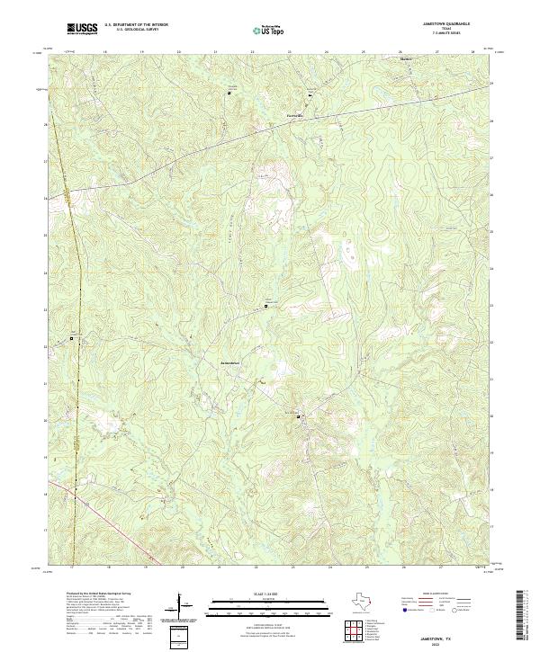
2022 Jamestown
Newton County, TX
2022 Newton East
Newton County, TX
2022 Newton West
Newton County, TX
2022 Shankleville
Newton County, TX
2022 Sudduth Bluff
Newton County, TX
2022 Trout Creek
Newton County, TX
2022 Weeks Settlement
Newton County, TX
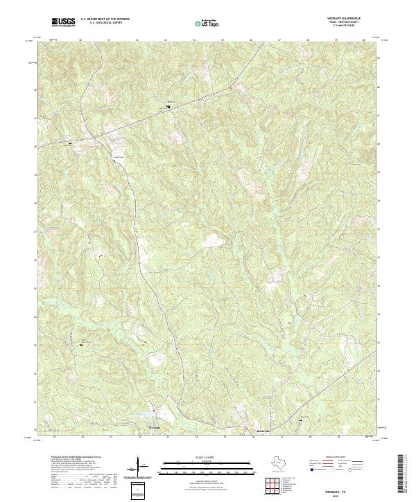
2022 Wiergate
Newton County, TX
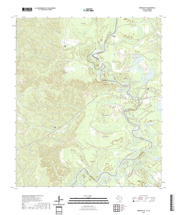
2022 Wiergate SE
Newton County, TX