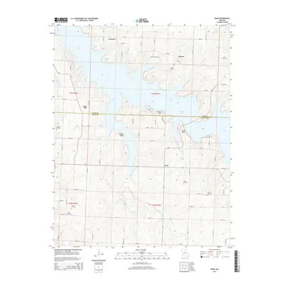
2015 Map of Bona
USGS Topo · Published 2015About this map
Stockton Lake dominates the central landscape of this Dade and Cedar County border region, where the flooded valleys of Big Br and other tributaries create a complex, branched shoreline. The high ground surrounding the reservoir is punctuated by several small communities and historical family landmarks, including Bona, Cane Hill, and Needmore. Genealogists will find a high density of small burial grounds preserved across the townships, such as Friend Cemetery and Nell Cemetery, which reflect the area's rural settlement patterns prior to the creation of the reservoir. Dramatic terrain features such as Perkins Bluff and Tunnel Bluff overlook the water, while remnants of older transit routes like Carns Ford hint at the original river crossings. The transition from agricultural land to protected reservoir frontage is evidenced by the Corp of Engineers Rd and the network of numbered county roads like N Dade 211.
Find a feature on this map
73 named features on this map. Tap any name to fly to it.
Don’t see what you’re looking for? This feature index may not catch every label — zoom into the map to look around manually.
Map Details
Editions of this 2015 Bona Map
This is the sole edition of this map. No revisions or reprints were ever made.
Other maps of this area
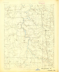
1886 · Stockton
USGS Topo · 1:125,000
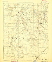
1886 · Greenfield
USGS Topo · 1:125,000
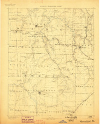
1888 · Greenfield
USGS Topo · 1:125,000
1954 · Springfield
USGS Topo · 1:250,000
1955 · Dadeville
USGS Topo · 1:24,000
1956 · Fair Play
USGS Topo · 1:24,000
1956 · Walnut Grove
USGS Topo · 1:24,000
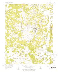
1956 · Stockton
USGS Topo · 1:24,000
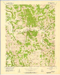
1956 · Bearcreek
USGS Topo · 1:24,000
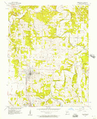
1956 · Greenfield
USGS Topo · 1:24,000