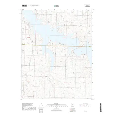
2017 Map of Bona
USGS Topo · Published 2017About this map
Stockton Lake dominates the central landscape of this Dade and Cedar County region, its many-fingered shoreline reaching into the limestone bluffs of the Ozarks. The community of Bona serves as a local anchor along State Rd Y, situated south of the dramatic topography of Perkins Bluff and Tunnel Bluff. This era of the landscape is defined by the coexistence of modern reservoir recreation and deep-rooted agricultural history, visible in the scattered family cemeteries and small settlements like Cane Hill and Masters that remain above the water line.
Find a feature on this map
75 named features on this map. Tap any name to fly to it.
Don’t see what you’re looking for? This feature index may not catch every label — zoom into the map to look around manually.
Map Details
Editions of this 2017 Bona Map
This is the sole edition of this map. No revisions or reprints were ever made.
Other maps of this area
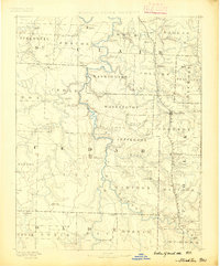
1886 · Stockton
USGS Topo · 1:125,000
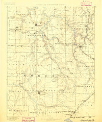
1886 · Greenfield
USGS Topo · 1:125,000
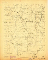
1888 · Greenfield
USGS Topo · 1:125,000
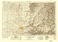
1954 · Springfield
USGS Topo · 1:250,000
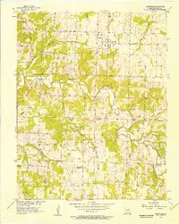
1955 · Dadeville
USGS Topo · 1:24,000
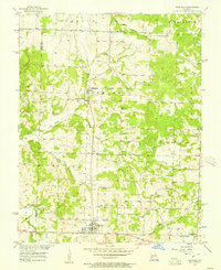
1956 · Fair Play
USGS Topo · 1:24,000
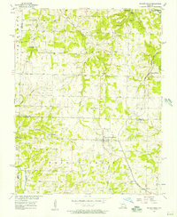
1956 · Walnut Grove
USGS Topo · 1:24,000
1956 · Stockton
USGS Topo · 1:24,000
1956 · Bearcreek
USGS Topo · 1:24,000
1956 · Greenfield
USGS Topo · 1:24,000