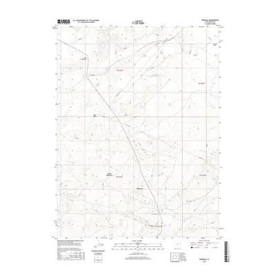
2017 Map of Bonanza
USGS Topo · Published 2017About this map
Little Bonanza and Bonanza serve as the primary human touchpoints in this arid corner of Uintah County, where industrial and geological features dominate the landscape. The map highlights the unique mineral geography of the region, specifically noted by the Eureka Vein, a label pointing to the area's history of gilsonite mining. Transportation and utility corridors like Deserado and the Old Bonanza Hwy cut across the high desert terrain, connecting these remote outposts to the wider Uinta Basin.
Find a feature on this map
15 named features on this map. Tap any name to fly to it.
Don’t see what you’re looking for? This feature index may not catch every label — zoom into the map to look around manually.
Map Details
Editions of this 2017 Bonanza Map
This is the sole edition of this map. No revisions or reprints were ever made.
Other maps of this area

1885 · East Tavaputs
USGS Topo · 1:250,000

1885 · Ashley
USGS Topo · 1:250,000

1907 · Jensen
USGS Topo · 1:125,000

1910 · Jensen
USGS Topo · 1:125,000

1954 · Vernal
USGS Topo · 1:250,000

1956 · Grand Junction
USGS Topo · 1:250,000

1958 · Vernal
USGS Topo · 1:250,000

1959 · Grand Junction
USGS Topo · 1:250,000

1960 · Vernal
USGS Topo · 1:250,000

1960 · Grand Junction
USGS Topo · 1:250,000