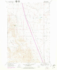
1962 Map of Bond
USGS Topo · Published 1979About this map
The Union Pacific railroad cuts a straight southeast diagonal through this portion of Beaverhead County, defining the transport corridor between the high ground of Frying Pan Basin and the irrigated lowlands to the east. The landscape is characterized by a sophisticated network of water management features, including the West Side Canal, Willow Greek Ditch, and the Beaverhead Water Company Ditch, which redirect local flows to support the agricultural efforts of the era. Small settlements like Bond and Nelson sit near the rail line and Anderson Lane, serving as minor hubs for the surrounding ranching and farming operations.
Find a feature on this map
20 named features on this map. Tap any name to fly to it.
Don’t see what you’re looking for? This feature index may not catch every label — zoom into the map to look around manually.
Map Details
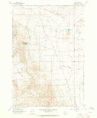
Editions of this 1962 Bond Map
2 editions found
Other maps of this area

1893 · Dillon
USGS Topo · 1:250,000

1952 · Twin Adams Mountain
USGS Topo · 1:24,000

1952 · Argenta
USGS Topo · 1:24,000

1952 · Burns Mountain
USGS Topo · 1:24,000

1955 · Dillon
USGS Topo · 1:250,000

1957 · Dillon
USGS Topo · 1:250,000

1958 · Dillon
USGS Topo · 1:250,000

1960 · Glen
USGS Topo · 1:24,000

1960 · Block Mountain
USGS Topo · 1:24,000

1961 · Glen SE
USGS Topo · 1:24,000