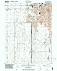
2024 Map of Bondville
USGS Topo · Published 2024About this map
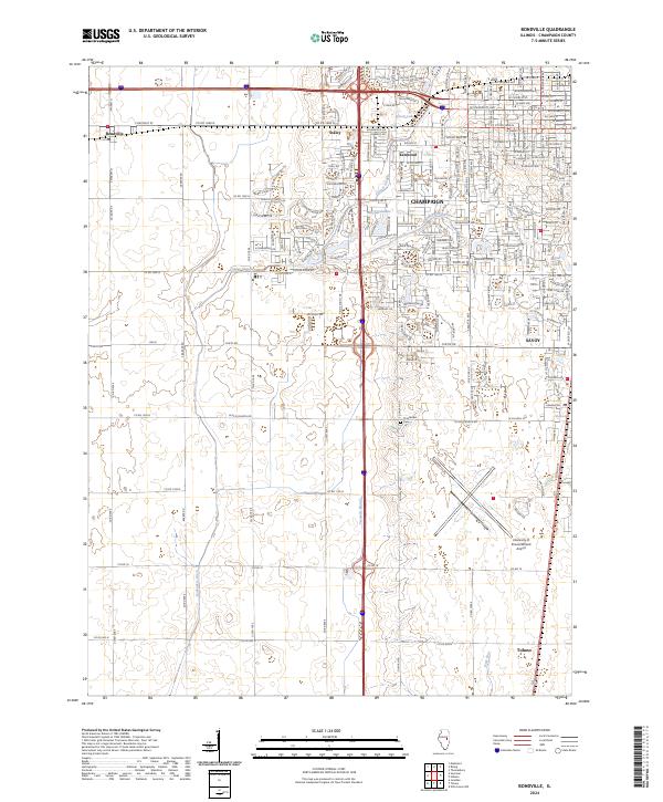
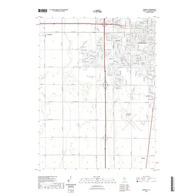
Champaign and its western suburbs define the landscape of this contemporary survey, where the expansion of Kenwood and Savoy meets the agricultural heritage of the Illinois prairie. The land is intricately managed by a network of drainage systems like the Kaskaskia Ditch and Twomile Slough, which divert water through the flat terrain toward the Copper Slough. South of the city, the large footprint of the University of Illinois/Willard Airport marks a significant regional hub, while the older village of Tolono maintains its position at the southern edge of the quadrangle. For those studying local lineage, the Prairieview Cem remains a notable landmark along W Old Church Rd. The map illustrates the modernization of historic corridors, such as Chestnut St in Bondville, as they transition from rural roads into the suburban infrastructure serving the growing university community.
Find a feature on this map
25 named features on this map. Tap any name to fly to it.
Don’t see what you’re looking for? This feature index may not catch every label — zoom into the map to look around manually.
Map Details
Editions of this 2024 Bondville Map
This is the sole edition of this map. No revisions or reprints were ever made.
Historical Maps of Champaign Through Time
9 maps found
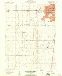
1957 Bondville
Champaign County, IL
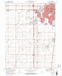
1970 Bondville
Champaign County, IL
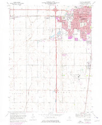
1975 Bondville
Champaign County, IL
1998 Bondville
Champaign County, IL
2012 Bondville
Champaign County, IL
2015 Bondville
Champaign County, IL
2018 Bondville
Champaign County, IL
2021 Bondville
Champaign County, IL
2024 Bondville
Champaign County, IL