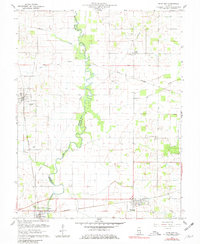
1959 Map of Bone Gap
USGS Topo · Published 1981About this map
Bonpas Creek meanders through the heart of this landscape, forming the natural border between Edwards and Wabash counties. The agricultural character of the region is punctuated by scattered settlements like Bone Gap and Bellmont, the latter featuring a local Fairgrounds. Transportation is defined by the Illinois Central and Southern railroads, which served as vital conduits for the area's rural economy.
Find a feature on this map
27 named features on this map. Tap any name to fly to it.
Don’t see what you’re looking for? This feature index may not catch every label — zoom into the map to look around manually.
Map Details
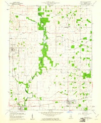
Editions of this 1959 Bone Gap Map
2 editions found
Other maps of this area

1903 · Patoka
USGS Topo · 1:125,000

1904 · Mount Carmel
USGS Topo · 1:62,500

1911 · Sumner
USGS Topo · 1:62,500

1913 · Sumner
USGS Topo · 1:62,500

1943 · Albion
USGS Topo · 1:62,500

1946 · Albion
USGS Topo · 1:62,500

1949 · Olney
USGS Topo · 1:62,500

1956 · Vincennes
USGS Topo · 1:250,000

1957 · Vincennes
USGS Topo · 1:250,000

1958 · Vincennes
USGS Topo · 1:250,000