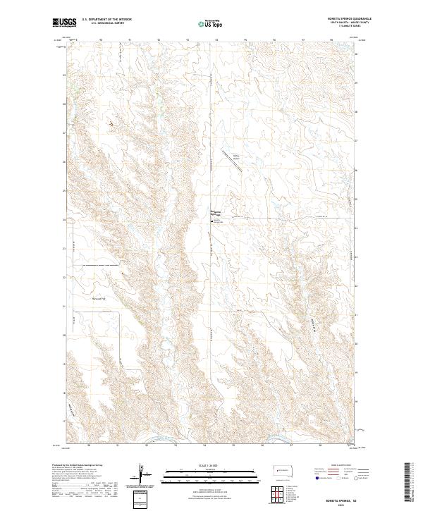
2021 Map of Boneita Springs
USGS Topo · Published 2021About this map
Boneita Springs is the central hub of this Meade County landscape, where the prairie topography is defined by the deep incisions of Killdeer Draw and Maddox Draw. The southern edge of the survey is anchored by the Belle Fourche River, a primary waterway that has shaped the local ranching and agricultural patterns for generations. Settlement is sparse, with infrastructure concentrated around the Boneita Springs Cem and the small aviation field at Barber Airport. The map reveals a network of local transit including Elm Springs Rd and Co Hwy MC-16, which connect the open expanses of Harwood Flat to the various branches of the creek system. The drainage patterns of W Bull Cr and E Killdeer Cr illustrate the complex watershed that feeds into the river valley, providing a clear view of the natural boundaries used by early landholders in this part of South Dakota.
Find a feature on this map
21 named features on this map. Tap any name to fly to it.
Don’t see what you’re looking for? This feature index may not catch every label — zoom into the map to look around manually.
Map Details
Editions of this 2021 Boneita Springs Map
This is the sole edition of this map. No revisions or reprints were ever made.
Other maps of this area

1953 · Rapid City
USGS Topo · 1:250,000

1954 · Dalzell NW
USGS Topo · 1:24,000

1954 · Elm Springs SW
USGS Topo · 1:24,000

1954 · Dalzell
USGS Topo · 1:24,000

1954 · Haydraw
USGS Topo · 1:24,000

1954 · Elm Springs
USGS Topo · 1:24,000

1954 · Boneita Springs
USGS Topo · 1:24,000

1957 · Rapid City
USGS Topo · 1:250,000

1959 · Enning
USGS Topo · 1:24,000

1959 · Union Center
USGS Topo · 1:24,000