Loading...
Loading map...2025 Map of Bonita Springs
USGS Topo · Published 2025About this map
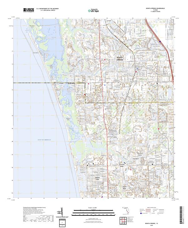
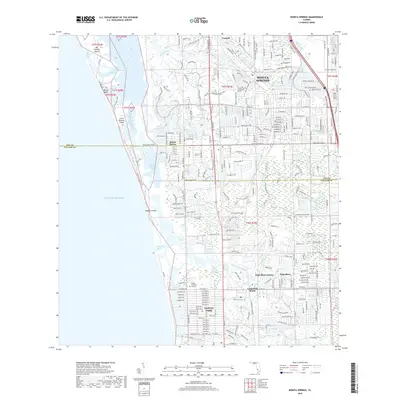
The Imperial River and Cocohatchee River systems dominate this coastal corridor, where the transition from inland residential development to the Gulf shore is mediated by a complex network of mangrove-lined channels like Vanderbilt Channel. The mapping illustrates the dense residential growth of Bonita Springs and Naples Park, extending south across the Lee and Collier county boundary.
Find a feature on this map
42 named features on this map. Tap any name to fly to it.
Don’t see what you’re looking for? This feature index may not catch every label — zoom into the map to look around manually.
Map Details
Date Portrayed2025
Date Published2025
PublisherU.S. Geological Survey
Map TypeTopographic
Scale1:24,000
Physical Dimensions24 x 29 inches
Editions of this 2025 Bonita Springs Map
This is the sole edition of this map. No revisions or reprints were ever made.
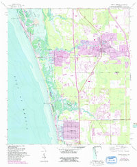
Historical Maps of Bonita Springs Through Time
7 maps found


Featured Locations
Source Details
SourceU.S. Geological Survey
CopyrightPublic Domain