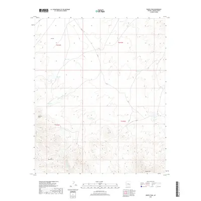
2018 Map of Bonita Tank
USGS Topo · Published 2018About this map
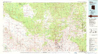
The Gila Mountains dominate the southern portion of this landscape, rising above the high desert floor where Ash Flat spreads across the northern reaches. This 2018 survey by the U.S. Geological Survey documents a network of water resources vital to the region's ranching and land management, including SCS Tank, Allan Tank, and Steer Pasture Tank. The topography is defined by significant drainages such as Paymaster Wash, which cuts through Paymaster Canyon, and the Left Fork Markham Cr. In the southeast, Slaughter Mtn stands as a prominent landmark near the winding path of Bonita Cr. The map captures the remote character of this Graham County territory, where primitive routes like Co RD 11 provide the primary access through the broken terrain and seasonal watercourses.
Find a feature on this map
22 named features on this map. Tap any name to fly to it.
Don’t see what you’re looking for? This feature index may not catch every label — zoom into the map to look around manually.
Map Details
Editions of this 2018 Bonita Tank Map
This is the sole edition of this map. No revisions or reprints were ever made.
Other maps of this area

1954 · Clifton
USGS Topo · 1:250,000

1957 · Clifton
USGS Topo · 1:250,000

1958 · Clifton
USGS Topo · 1:250,000

1960 · Fort Thomas
USGS Topo · 1:62,500

1962 · Clifton
USGS Topo · 1:250,000

1962 · Bryce Mountain
USGS Topo · 1:62,500
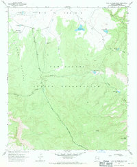
1967 · Point of Pines East
USGS Topo · 1:24,000
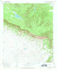
1967 · Point of Pines West
USGS Topo · 1:24,000
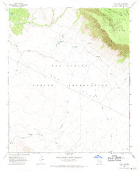
1967 · Tule Tubs
USGS Topo · 1:24,000
1986 · Clifton
USGS Topo · 1:100,000