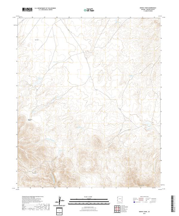
2021 Map of Bonita Tank
USGS Topo · Published 2021About this map
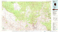
The Gila Mountains rise sharply across the southern portion of this quadrangle, defining a high-elevation landscape marked by steep canyons and seasonal watercourses. Much of the terrain's nomenclature suggests a history of livestock management and early ranching, evidenced by features such as Steer Pasture Tank, Paymaster Canyon, and Allan Tank. The drainage patterns are dictated by the mountain range, with Paymaster Wash and Left Fork Markham Cr cutting through the topography toward the lower elevations of Ash Flat. This 2021 survey reveals how critical water access remains in this arid region of Graham County, as indicated by the numerous named tanks and the winding path of Bonita Cr. The presence of secondary routes like Co RD 11 and 1620 RD indicates established access through the foothills of Slaughter Mtn, providing a look at contemporary land use in a geography that has seen little intensive development.
Find a feature on this map
22 named features on this map. Tap any name to fly to it.
Don’t see what you’re looking for? This feature index may not catch every label — zoom into the map to look around manually.
Map Details
Editions of this 2021 Bonita Tank Map
This is the sole edition of this map. No revisions or reprints were ever made.
Other maps of this area

1954 · Clifton
USGS Topo · 1:250,000

1957 · Clifton
USGS Topo · 1:250,000

1958 · Clifton
USGS Topo · 1:250,000

1960 · Fort Thomas
USGS Topo · 1:62,500

1962 · Clifton
USGS Topo · 1:250,000

1962 · Bryce Mountain
USGS Topo · 1:62,500
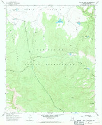
1967 · Point of Pines East
USGS Topo · 1:24,000
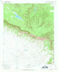
1967 · Point of Pines West
USGS Topo · 1:24,000
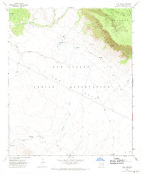
1967 · Tule Tubs
USGS Topo · 1:24,000
1986 · Clifton
USGS Topo · 1:100,000