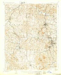
1905 Map of Bonne Terre
USGS Topo · Published 1932About this map
The Missouri Lead Belt emerges during its industrial peak in this 1903 survey, centered on the mining and milling hubs of Bonne Terre and Flat River. The landscape is dominated by the complex hydrology of the Big River and its tributaries, which carved the terrain where towns like Leadwood, Desloge, and St Francois were established. These settlements were linked by a dense network of transit, including the Mississippi River and Bonne Terre RR and the St Louis Iron Mountain and Southern RR, facilitating the transport of minerals from this productive district.
Find a feature on this map
67 named features on this map. Tap any name to fly to it.
Don’t see what you’re looking for? This feature index may not catch every label — zoom into the map to look around manually.
Map Details
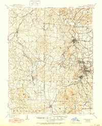
Editions of this 1905 Bonne Terre Map
3 editions found
Other maps of this area

1901 · De Soto
USGS Topo · 1:125,000

1904 · Farmington
USGS Topo · 1:62,500

1905 · Bonneterre
USGS Topo · 1:62,500

1906 · Potosi
USGS Topo · 1:62,500

1906 · Farmington
USGS Topo · 1:62,500

1915 · Crystal City
USGS Topo · 1:62,500

1924 · Edgehill
USGS Topo · 1:62,500

1926 · Edgehill
USGS Topo · 1:62,500

1931 · De Soto SE
USGS Topo · 1:24,000

1937 · Ironton
USGS Topo · 1:48,000