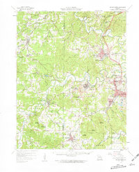
1958 Map of Bonne Terre
USGS Topo · Published 1959About this map
Bonne Terre and the surrounding Old Lead Belt of Missouri appear here at a peak of industrial complexity, where the Missouri Pacific railroad winds through a landscape defined by mining operations. The density of industrial infrastructure is evident in settlements like Leadwood, Rivermines, and Desloge, which are surrounded by extensive tailings ponds and mine dumps. This 1950s record provides exceptional detail for genealogists, showing dozens of family-named cemeteries and rural institutions such as Germania Sch and Hickory Grove Ch that served these labor-intensive communities.
Find a feature on this map
104 named features on this map. Tap any name to fly to it.
Don’t see what you’re looking for? This feature index may not catch every label — zoom into the map to look around manually.
Map Details
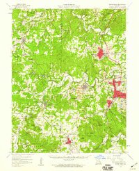
Editions of this 1958 Bonne Terre Map
2 editions found
Other maps of this area

1901 · De Soto
USGS Topo · 1:125,000

1904 · Farmington
USGS Topo · 1:62,500

1905 · Bonneterre
USGS Topo · 1:62,500

1906 · Potosi
USGS Topo · 1:62,500

1906 · Farmington
USGS Topo · 1:62,500

1915 · Crystal City
USGS Topo · 1:62,500

1924 · Edgehill
USGS Topo · 1:62,500

1926 · Edgehill
USGS Topo · 1:62,500

1931 · De Soto SE
USGS Topo · 1:24,000

1937 · Ironton
USGS Topo · 1:48,000