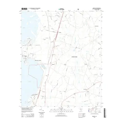
2014 Map of Bonneau
USGS Topo · Published 2014About this map
Lake Moultrie dominates the western edge of this Berkeley County landscape, where the water meets the managed wilderness of the Francis Marion National Forest. The town of Bonneau serves as a central hub, situated along the corridor of Us HWY 52. This region is characterized by a high density of small family and community burial grounds, such as Black Oak Cem, Mudlake Cem, and Rehobeth Cem, providing valuable points of reference for genealogists. The settlement pattern follows the high ground between extensive wetland systems like Walker Swamp and Gravel Hill Swamp. To the south, the community of Macbeth sits near the forest boundary, while the shoreline at Bonneau Beach and Richardson Landing indicates the area's transition toward water-based recreation and residential development. The presence of the Bonneau Fire Tower highlights the ongoing importance of forest management in this timber-rich coastal plain environment.
Find a feature on this map
93 named features on this map. Tap any name to fly to it.
Don’t see what you’re looking for? This feature index may not catch every label — zoom into the map to look around manually.
Map Details
Editions of this 2014 Bonneau Map
This is the sole edition of this map. No revisions or reprints were ever made.
Other maps of this area

1919 · Summerville
USGS Topo · 1:48,000

1919 · Cordesville
USGS Topo · 1:48,000

1920 · Chicora
USGS Topo · 1:48,000

1920 · Summerville
USGS Topo · 1:62,500

1921 · Chicora
USGS Topo · 1:62,500

1943 · Chicora
USGS Topo · 1:62,500

1943 · Bonneau
USGS Topo · 1:62,500

1944 · Summerville
USGS Topo · 1:62,500

1948 · Cordesville
USGS Topo · 1:24,000

1948 · Bethera
USGS Topo · 1:24,000