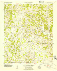
1950 Map of Bonnertown
USGS Topo · Published 1954About this map
The Tennessee Alabama border cuts directly through this 1950 survey, marking a rural landscape where agricultural life followed the winding path of West Fork Shoal Creek. In the Tennessee portion of Lawrence Co, small crossroads like Five Points and Center Point served as local anchors, complete with their own namesake institutions like Center Point School. The terrain is defined by the prominent Lead Mon Ridge to the east and the intricate drainage of Mockeson Creek and Sugar Creek, creating a network of hollows and ridges that dictated the placement of early homesteads. Near the community of Idaho, the presence of Bird Mill along the Idaho Branch points to the area's historical reliance on water-powered industry. Genealogists will find a wealth of specific data here, from the uniquely named Home Sweet Home Cem to scattered family burial grounds like the Richardson Cem and Sexton Cem, alongside the Old Rabbit Trail Road which provides a clear view of mid-century transportation routes.
Find a feature on this map
54 named features on this map. Tap any name to fly to it.
Don’t see what you’re looking for? This feature index may not catch every label — zoom into the map to look around manually.
Map Details
Editions of this 1950 Bonnertown Map
3 editions found
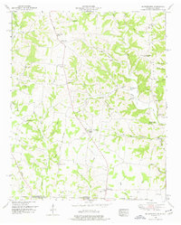
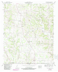
Other maps of this area

1914 · Rogersville
USGS Topo · 1:48,000

1916 · Rogersville
USGS Topo · 1:62,500

1936 · Union Hill
USGS Topo · 1:24,000

1936 · Lexington
USGS Topo · 1:24,000

1936 · Lawrenceburg
USGS Topo · 1:24,000

1936 · Long Branch
USGS Topo · 1:24,000

1936 · Loretto
USGS Topo · 1:24,000

1936 · Bodenham
USGS Topo · 1:24,000
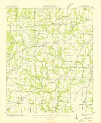
1936 · Center Hill
USGS Topo · 1:24,000

1936 · Appleton
USGS Topo · 1:24,000