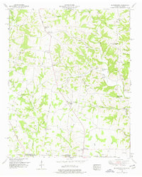
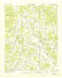
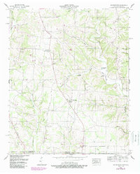
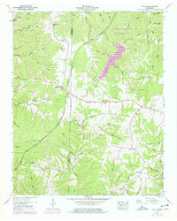
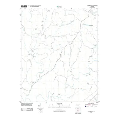
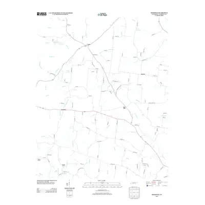
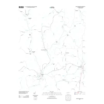
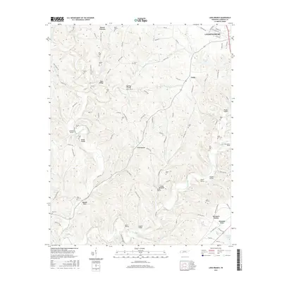
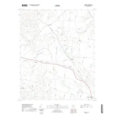
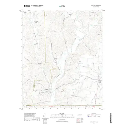
1950 Map of Bonnertown
USGS Topo · Published 1977About this map
Five Points serves as a central hub in this post-war landscape where the Tennessee Alabama state line meets the southern border of Lawrence County. The map reveals a deeply etched rural network defined by its small schoolhouses and family cemeteries, suggesting a community closely tied to the land and local parishes. To the north, Steadman Ridge dominates the topography, while the eastern edge is marked by the winding course of the West Fork Sugar Creek.
Find a feature on this map
56 named features on this map. Tap any name to fly to it.
Don’t see what you’re looking for? This feature index may not catch every label — zoom into the map to look around manually.
Map Details
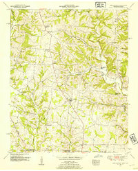
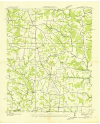
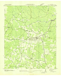
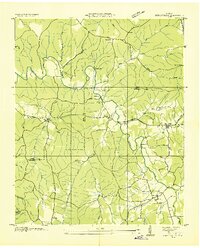
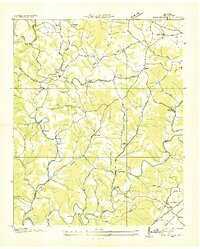
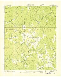
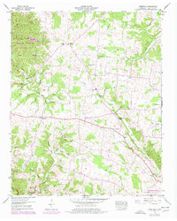
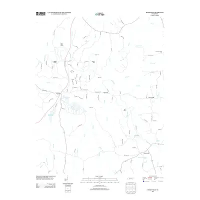
Editions of this 1950 Bonnertown Map
3 editions found
Historical Maps of Idaho Through Time
41 maps found
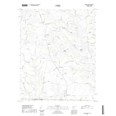
1936 Bonnertown
Lawrence County, TN
1936 Crestview
Lawrence County, TN
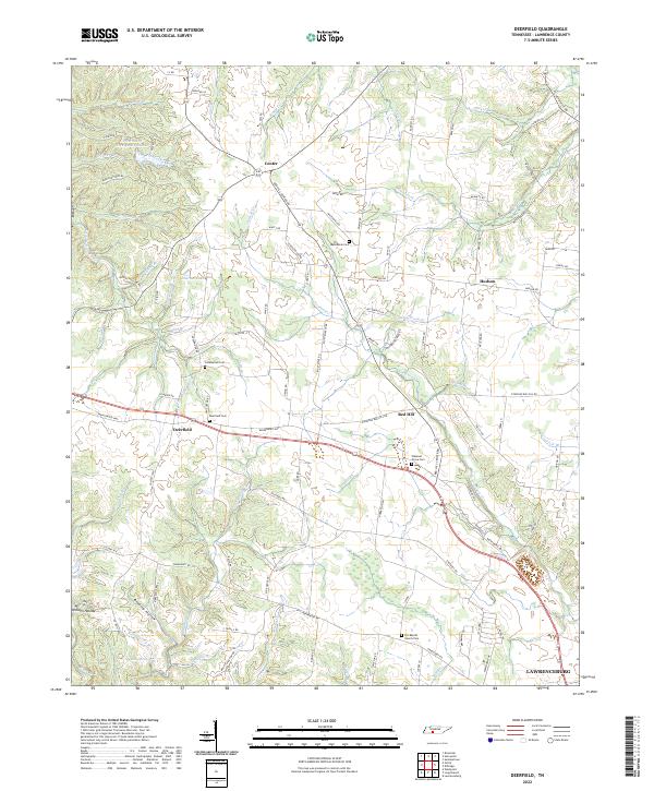
1936 Deerfield
Lawrence County, TN
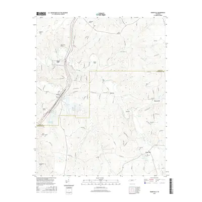
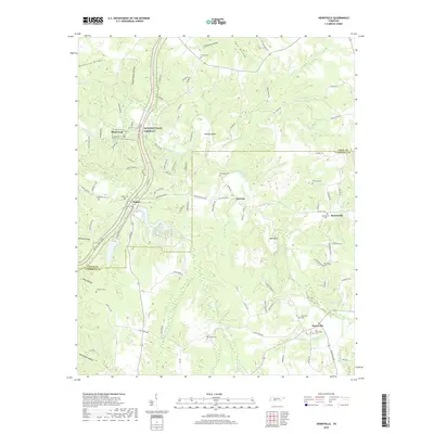
1936 Henryville
Lawrence County, TN
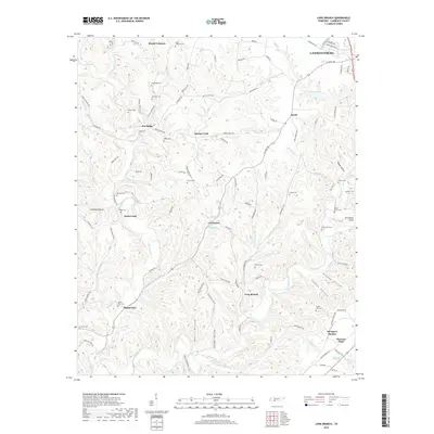
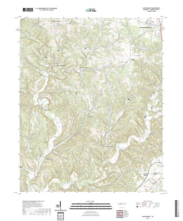
1936 Long Branch
Lawrence County, TN
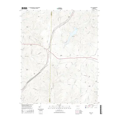
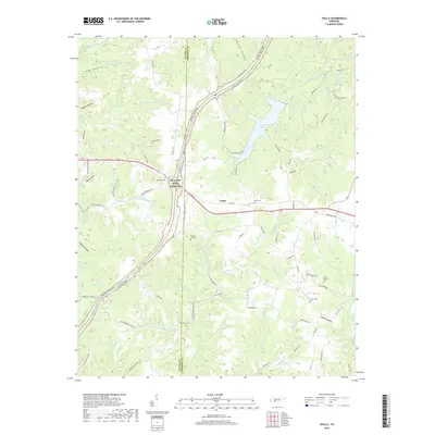
1936 Ovilla
Lawrence County, TN
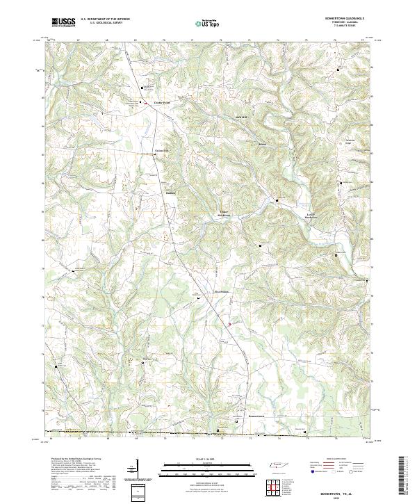
1950 Bonnertown
Lawrence County, TN
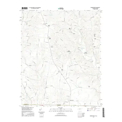
1950 Deerfield
Lawrence County, TN
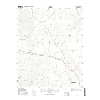
1951 Henryville
Lawrence County, TN
1951 Long Branch
Lawrence County, TN
1951 Ovilla
Lawrence County, TN
2010 Bonnertown
Lawrence County, TN
2010 Deerfield
Lawrence County, TN
2010 Henryville
Lawrence County, TN
2010 Long Branch
Lawrence County, TN
2010 Ovilla
Lawrence County, TN
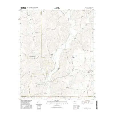
2010 Saint Joseph
Lawrence County, TN
2013 Bonnertown
Lawrence County, TN
2013 Deerfield
Lawrence County, TN
2013 Henryville
Lawrence County, TN
2013 Long Branch
Lawrence County, TN
2013 Ovilla
Lawrence County, TN
2013 Saint Joseph
Lawrence County, TN
2016 Bonnertown
Lawrence County, TN
2016 Deerfield
Lawrence County, TN
2016 Henryville
Lawrence County, TN
2016 Long Branch
Lawrence County, TN
2016 Ovilla
Lawrence County, TN
2016 Saint Joseph
Lawrence County, TN
2019 Bonnertown
Lawrence County, TN
2019 Deerfield
Lawrence County, TN
2019 Henryville
Lawrence County, TN
2019 Long Branch
Lawrence County, TN
2019 Ovilla
Lawrence County, TN
2019 Saint Joseph
Lawrence County, TN
2022 Bonnertown
Lawrence County, TN
2022 Deerfield
Lawrence County, TN
2022 Long Branch
Lawrence County, TN
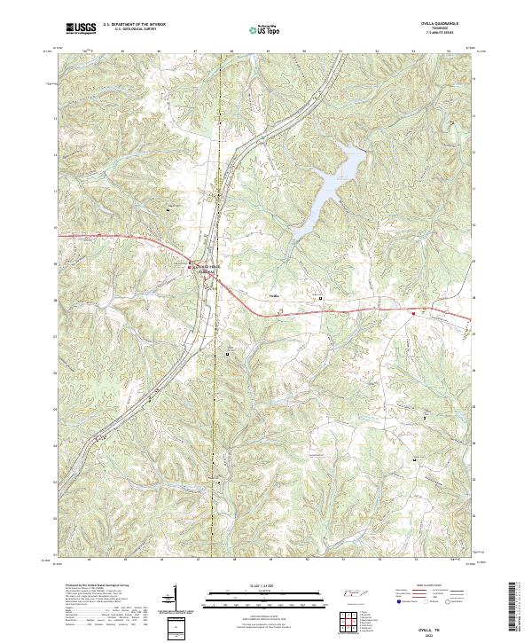
2022 Ovilla
Lawrence County, TN
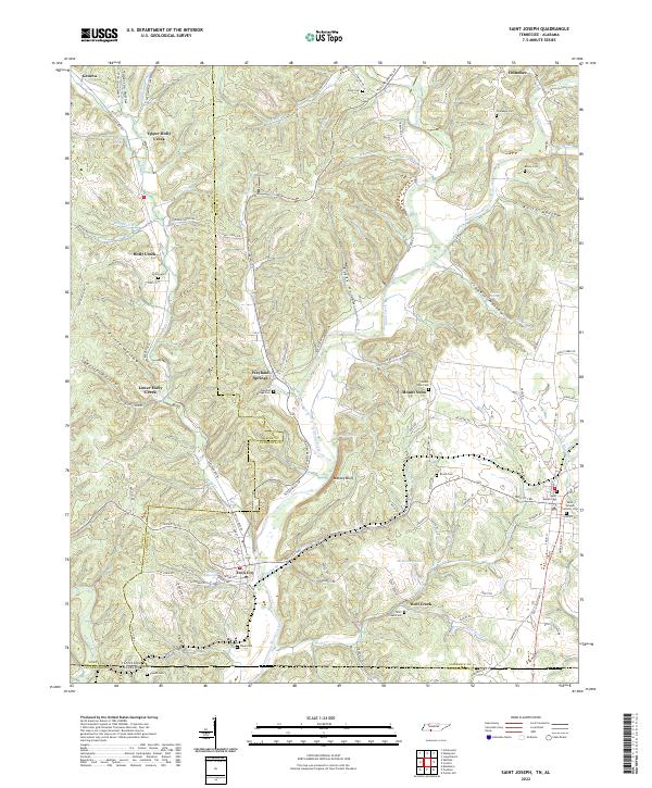
2022 Saint Joseph
Lawrence County, TN
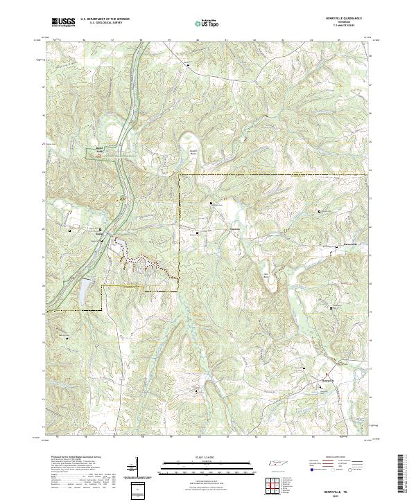
2023 Henryville
Lawrence County, TN