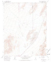
1968 Map of Bonnie Claire NW
USGS Topo · Published 1981About this map
Bonnie Claire Flat dominates this high-desert basin along the border of Esmeralda and Nye counties in the late 1960s. The landscape is defined by the stark arid features of the Great Basin, including the dry expanse of Bonnie Claire Lake and the rising slopes of the Grapevine Mountains. Evidence of early 20th-century transportation is visible in the Old RR Grade that cuts across the depression, a remnant of the regional mining infrastructure that once connected these remote basins to larger rail networks.
Find a feature on this map
10 named features on this map. Tap any name to fly to it.
Don’t see what you’re looking for? This feature index may not catch every label — zoom into the map to look around manually.
Map Details
Editions of this 1968 Bonnie Claire NW Map
2 editions found
Other maps of this area

1908 · Lida
USGS Topo · 1:250,000

1913 · Lida
USGS Topo · 1:250,000

1954 · Goldfield
USGS Topo · 1:250,000

1955 · Goldfield
USGS Topo · 1:250,000

1957 · Ubehebe Crater
USGS Topo · 1:62,500

1958 · Goldfield
USGS Topo · 1:250,000

1962 · Goldfield
USGS Topo · 1:250,000
1967 · Bonnie Claire SE
USGS Topo · 1:24,000
1968 · Bonnie Claire NW
USGS Topo · 1:24,000
1968 · Gold Point
USGS Topo · 1:24,000