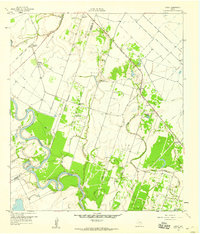
1959 Map of Bonus
USGS Topo · Published 1960About this map
The winding Colorado River and the rural agricultural economy of the late 1950s define this portion of the Texas Gulf Coast. Spanning the boundary between Colorado and Wharton counties, the landscape is a network of small settlements and transit routes. The Gulf Colorado and Santa Fe railroad cuts across the northern terrain, connecting Matthews and Eldridge through Boedecker Junction. This era of development is marked by the presence of numerous pipelines crossing the river and several local industry markers like Gravel Pits.
Find a feature on this map
30 named features on this map. Tap any name to fly to it.
Don’t see what you’re looking for? This feature index may not catch every label — zoom into the map to look around manually.
Map Details
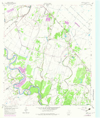
Editions of this 1959 Bonus Map
3 editions found
Other maps of this area

1952 · Egypt
USGS Topo · 1:24,000

1953 · Glen Flora
USGS Topo · 1:24,000

1953 · Seguin
USGS Topo · 1:250,000

1956 · Wallis
USGS Topo · 1:62,500

1957 · Eagle Lake
USGS Topo · 1:62,500

1957 · Altair
USGS Topo · 1:24,000

1958 · Seguin
USGS Topo · 1:250,000

1959 · Garwood
USGS Topo · 1:24,000

1959 · Bonus
USGS Topo · 1:24,000

1960 · Lissie
USGS Topo · 1:24,000