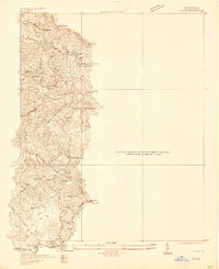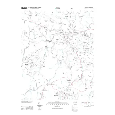
1959 Map of Boone
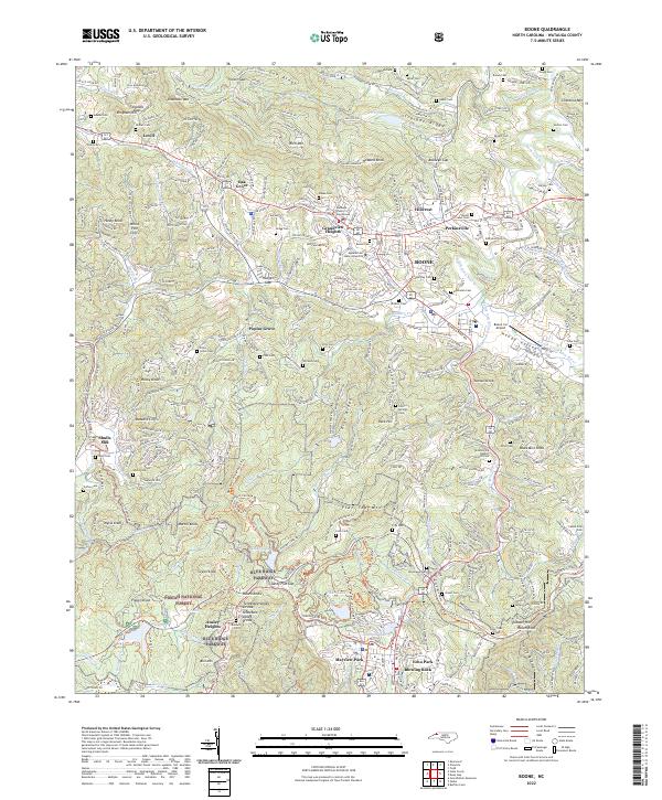
USGS Topo · Published 1962About this map
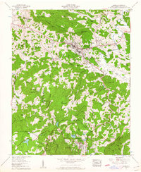
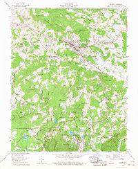
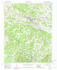
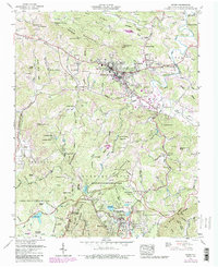
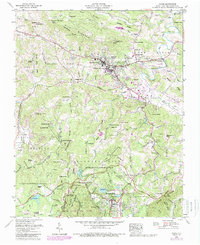
Boone serves as the focal point for this survey of the High Country, centered on the expansion of Appalachian State Teachers College and the surrounding mountain settlements. The map documents a significant era of recreation and preservation, with the Blue Ridge Parkway winding through the southern half of the quadrangle. This corridor connects major public lands including Moses H Cone Memorial Park and Julian Price Memorial Park, where Price Lake and Bass Lake provide established water features. The terrain is defined by the high ridges of Rich Mountain and the Blue Ridge, while the valley floor showcases the agricultural and institutional life of Watauga County. Smaller enclaves like Blowing Rock and Perkinsville are clearly delineated alongside local landmarks such as Prison Camp 116 and the Tweetsie RR line.
Find a feature on this map
92 named features on this map. Tap any name to fly to it.
Don’t see what you’re looking for? This feature index may not catch every label — zoom into the map to look around manually.
Map Details
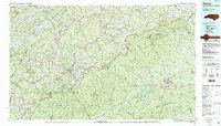
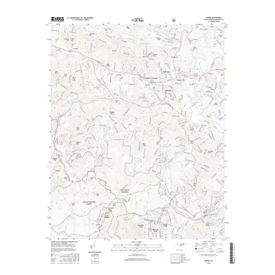
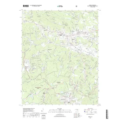
Editions of this 1959 Boone Map
5 editions found
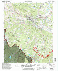
Historical Maps of Boone Through Time
9 maps found