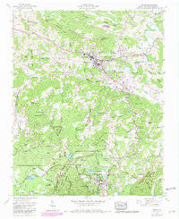
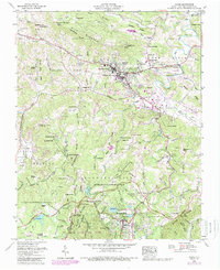
1959 Map of Boone
USGS Topo · Published 1980About this map
Boone serves as the focal point of this Watauga County survey, shown during a period of mid-century growth that highlights its role as a regional educational and cultural hub. The campus of Appalachian State Teachers College is centrally located, surrounded by residential developments like Grandview Heights and Perkinsville. The map captures the significant recreational and infrastructural landscape of the Blue Ridge, featuring the winding path of the Blue Ridge Parkway and the historic Tweetsie RR near the Blowing Rock area. Large protected tracts including Moses H Cone Memorial Park and Julian Price Memorial Park dominate the southern half, preserving the character of Flat Top and Rich Mountain. Genealogists will find a dense distribution of family burial sites, such as Trivett Cem, Hollars Cem, and Edmisten Cem, alongside local institutions like Three Forks Ch and the Daniel Boone Theater.
Find a feature on this map
121 named features on this map. Tap any name to fly to it.
Don’t see what you’re looking for? This feature index may not catch every label — zoom into the map to look around manually.
Map Details
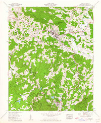
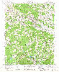
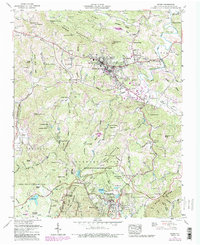
Editions of this 1959 Boone Map
5 editions found
Other maps of this area

1893 · Cranberry
USGS Topo · 1:125,000

1895 · Cranberry
USGS Topo · 1:125,000

1899 · Cranberry
USGS Topo · 1:125,000

1902 · Cranberry
USGS Topo · 1:125,000

1934 · Valle Crucis
USGS Topo · 1:24,000

1934 · Boone
USGS Topo · 1:24,000

1935 · Doe Mountain
USGS Topo · 1:48,000

1935 · Sherwood
USGS Topo · 1:24,000

1935 · Zionville
USGS Topo · 1:24,000

1936 · Blowing Rock
USGS Topo · 1:48,000