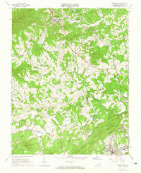
1963 Map of Boones Mill
USGS Topo · Published 1965About this map
Boones Mill and the northern outskirts of Rocky Mount anchor this survey of the Franklin County landscape during the mid-1960s. The Norfolk and Western railroad winds through the terrain, connecting small rural centers like Taylor, Helm, and Wirtz. The region is defined by its numerous small community congregations and family burial grounds, including St Pauls Ch, Brick Ch, and the Antioch Ch, alongside smaller family plots such as the Starkey Cem and Minnix Cem.
Find a feature on this map
48 named features on this map. Tap any name to fly to it.
Don’t see what you’re looking for? This feature index may not catch every label — zoom into the map to look around manually.
Map Details
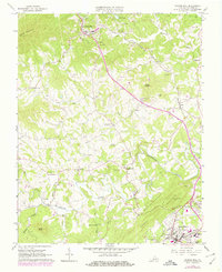
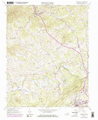
Editions of this 1963 Boones Mill Map
Other maps of this area

1890 · Roanoke
USGS Topo · 1:125,000

1890 · Christiansburg
USGS Topo · 1:125,000

1891 · Roanoke
USGS Topo · 1:125,000

1925 · Rocky Mount
USGS Topo · 1:48,000

1927 · Rocky Mount
USGS Topo · 1:62,500

1944 · Rocky Mount
USGS Topo · 1:62,500

1947 · Roanoke
USGS Topo · 1:250,000

1950 · Elliston
USGS Topo · 1:62,500

1951 · Boones Mill
USGS Topo · 1:62,500

1953 · Winston-Salem
USGS Topo · 1:250,000