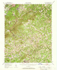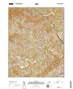
1963 Map of Boones Mill
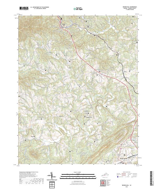
USGS Topo · Published 1978About this map
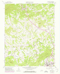
Boones Mill serves as a northern anchor for this mid-century topographic landscape, where the Norfolk and Western railway threads through the valley of Maggodee Creek. The terrain is defined by prominent peaks like Cahas Mountain and Clower Knob, which overlook a network of small family settlements and rural institutions. Significant genealogical data is captured through numerous small burial grounds such as Starkey Cem, Wright Cem, and the Mountain View Burial Park. To the south, the Blackwater River snakes across the quadrangle, passing near Gogginsville and toward the outskirts of Rocky Mount. The 1970s revisions, noted in purple, highlight suburban growth and development around local hubs like Wirtz and Helm, including the expansion of the County High Sch and several trailer parks, documenting the transition from a purely agricultural and rail-focused economy to more modern land usage.
Find a feature on this map
54 named features on this map. Tap any name to fly to it.
Don’t see what you’re looking for? This feature index may not catch every label — zoom into the map to look around manually.
Map Details
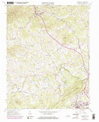
Editions of this 1963 Boones Mill Map
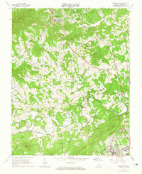
Historical Maps of Rocky Mount Through Time
7 maps found