
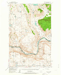
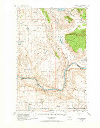
1950 Map of Boot Mtn
USGS Topo · Published 1952About this map
Colville Indian Reservation lands dominate this mid-century landscape, where the plateau terrain is punctuated by significant volcanic and glacial features. The Columbia River forms a major boundary, showing the river before modern impoundments deeply altered its course. Along its banks, researchers can find numerous navigation hazards and landmarks like White Cap Rapids, Parson Rapids, and Island Shoal. The map captures a moment of transition for local education, noting both active facilities like Duley Lake School and shuttered sites such as Del Rio School (Aban'd) and Ragged Butte School (Aban'd). Settlement patterns are sparse, centered around small hubs like Timentwa and Del Rio, while the Condon Ferry (Site) serves as a reminder of earlier river crossings before the regional road network matured.
Find a feature on this map
49 named features on this map. Tap any name to fly to it.
Don’t see what you’re looking for? This feature index may not catch every label — zoom into the map to look around manually.
Map Details
Editions of this 1950 Boot Mtn Map
3 editions found
Other maps of this area

1905 · Okanogan
USGS Topo · 1:125,000

1950 · Alameda Flat
USGS Topo · 1:62,500

1952 · Alameda Flat
USGS Topo · 1:62,500

1952 · Disautel
USGS Topo · 1:62,500

1953 · Omak Lake
USGS Topo · 1:62,500

1953 · Ritzville
USGS Topo · 1:250,000

1954 · Okanogan
USGS Topo · 1:250,000

1957 · Okanogan
USGS Topo · 1:62,500

1957 · Bridgeport
USGS Topo · 1:62,500

1958 · Okanogan
USGS Topo · 1:250,000