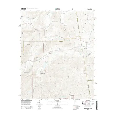
2014 Map of Borden Springs
USGS Topo · Published 2014About this map
Tecumseh Furnace and the industrial history of the Alabama-Georgia borderlands anchor this study of the southern Appalachians. The landscape is defined by the high ridgelines of Augusta Mine Ridge and Davis Mtn, which frame a network of small settlements like Palestine and Esom Hill. The drainage of Terrapin Creek and its many reservoirs, such as Terrapin Cr Lake Number 33 and Beecham Lake, reveals a complex water management system within the Talladega National Forest. For genealogists, the map is a dense record of family history, pinpointing numerous burial sites including Arrington Chapel Cem, Cherry Grove Cem, and Edmondson Cem. The transition from industrial sites like Tecumseh to protected forest land reflects the changing economic character of Cleburne County and the surrounding border region.
Find a feature on this map
82 named features on this map. Tap any name to fly to it.
Don’t see what you’re looking for? This feature index may not catch every label — zoom into the map to look around manually.
Map Details
Editions of this 2014 Borden Springs Map
This is the sole edition of this map. No revisions or reprints were ever made.
Other maps of this area

1886 · Rome
USGS Topo · 1:125,000

1889 · Tallapoosa
USGS Topo · 1:125,000

1892 · Tallapoosa
USGS Topo · 1:125,000

1893 · Fort Payne
USGS Topo · 1:125,000

1897 · Tallapoosa
USGS Topo · 1:125,000

1898 · Rome
USGS Topo · 1:125,000

1898 · Fort Payne
USGS Topo · 1:125,000

1899 · Rome
USGS Topo · 1:125,000

1900 · Fort Payne
USGS Topo · 1:125,000

1900 · Anniston
USGS Topo · 1:125,000