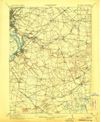
1906 Map of Bordentown
USGS Topo · Published 1906About this map
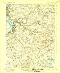
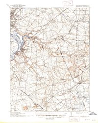
Bordentown sits at the center of a complex transportation network along the Delaware River at the dawn of the twentieth century. This area is defined by the convergence of major rail lines and meandering waterways like Crosswicks Creek and Doctors Creek. The landscape transition from the industrial riverfront near Duck Island to the agricultural interior of Upper Freehold is clearly visible through the placement of early infrastructure. Rural commerce is anchored by family-run operations such as Hutchinsons Mill, Carsons Mills, and Walnford, which served established farming communities like Cream Ridge. The rail infrastructure is particularly dense, featuring the Penna RR, including its Trenton Branch, and the Pemberton and Hightstown Railroad. These tracks connected small post offices and stations such as Robbinsville PO and Newtown Sta to the larger regional markets of Trenton and beyond.
Find a feature on this map
102 named features on this map. Tap any name to fly to it.
Don’t see what you’re looking for? This feature index may not catch every label — zoom into the map to look around manually.
Map Details
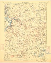
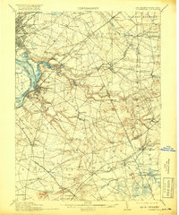
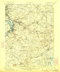
Editions of this 1906 Bordentown Map
6 editions found
Other maps of this area

1884 · Whitings
USGS Topo · 1:62,500

1888 · Bordentown
USGS Topo · 1:62,500

1888 · Pemberton
USGS Topo · 1:62,500

1888 · New Brunswick
USGS Topo · 1:62,500

1888 · Mount Holly
USGS Topo · 1:62,500

1888 · Princeton
USGS Topo · 1:62,500

1888 · Cassville
USGS Topo · 1:62,500

1888 · Whitings
USGS Topo · 1:62,500

1890 · Lambertville
USGS Topo · 1:62,500

1890 · Burlington
USGS Topo · 1:62,500