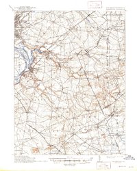
1906 Map of Bordentown
USGS Topo · Published 1944About this map
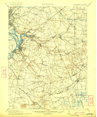
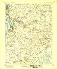
Crosswicks Creek and its many tributaries, including Doctors Creek, carve through this central New Jersey landscape, defining the boundaries between early townships like Washington and Chesterfield. The map reveals a dense network of early 20th-century transportation, from the steam lines of the Pennsylvania Railroad to the Electric rail corridor near Mercerville. Agricultural and industrial life is evidenced by numerous water-powered sites such as Hutchinsons Mill and Carsons Mills, while the emerging military presence is anchored by the Camp Dix Military Reservation in the south. Established settlements like Bordentown and Allentown serve as regional hubs, connected by a web of rural roads to smaller post offices and stations such as Robbinsville PO and Newtown Sta. This survey captures the transition from a mill-based river economy to a landscape increasingly shaped by rail and early military expansion.
Find a feature on this map
103 named features on this map. Tap any name to fly to it.
Don’t see what you’re looking for? This feature index may not catch every label — zoom into the map to look around manually.
Map Details
Editions of this 1906 Bordentown Map
6 editions found
Other maps of this area

1884 · Whitings
USGS Topo · 1:62,500

1888 · Bordentown
USGS Topo · 1:62,500

1888 · Pemberton
USGS Topo · 1:62,500

1888 · New Brunswick
USGS Topo · 1:62,500

1888 · Mount Holly
USGS Topo · 1:62,500

1888 · Princeton
USGS Topo · 1:62,500

1888 · Cassville
USGS Topo · 1:62,500

1888 · Whitings
USGS Topo · 1:62,500

1890 · Lambertville
USGS Topo · 1:62,500

1890 · Burlington
USGS Topo · 1:62,500