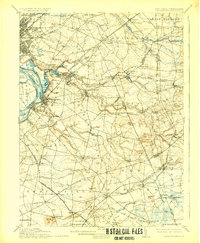
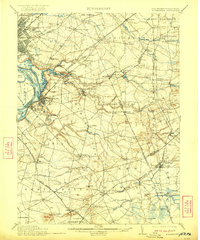
1906 Map of Bordentown
USGS Topo · Published 1929About this map
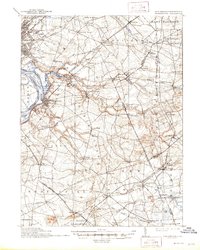
Bordentown sits at the focal point of a bustling river-and-rail hub along the Delaware River, where the Pennsylvania Railroad and various branches intersect with vital water routes. This early twentieth-century landscape is defined by the convergence of agricultural villages and industrial mill sites, such as Hutchinsons Mill and Carsons Mills, linked by a complex network of creeks including Crosswicks Creek and Doctors Creek. The transition from agrarian land to military use is evident in the southern portion of the sheet near Camp Dix Military Reservation.
Find a feature on this map
115 named features on this map. Tap any name to fly to it.
Don’t see what you’re looking for? This feature index may not catch every label — zoom into the map to look around manually.
Map Details
Editions of this 1906 Bordentown Map
6 editions found
Other maps of this area

1884 · Whitings
USGS Topo · 1:62,500

1888 · Bordentown
USGS Topo · 1:62,500

1888 · Pemberton
USGS Topo · 1:62,500

1888 · New Brunswick
USGS Topo · 1:62,500

1888 · Mount Holly
USGS Topo · 1:62,500

1888 · Princeton
USGS Topo · 1:62,500

1888 · Cassville
USGS Topo · 1:62,500

1888 · Whitings
USGS Topo · 1:62,500

1890 · Lambertville
USGS Topo · 1:62,500

1890 · Burlington
USGS Topo · 1:62,500