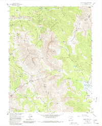
1957 Map of Boreas Pass
USGS Topo · Published 1986About this map
The Continental Divide splits this high-altitude landscape where the mining history of the Tenmile and Front Ranges is written into the terrain. The northern half of the sheet is dominated by the silver and gold legacies of the Breckenridge district, featuring the Parkville (Site) and the Sally Barber Mine. Mining activity is concentrated around Farncomb Hill and Humbug Hill, with dozens of individual operations like the Lincoln Mine and The Carbonate Mine clustered along French Gulch.
Find a feature on this map
68 named features on this map. Tap any name to fly to it.
Don’t see what you’re looking for? This feature index may not catch every label — zoom into the map to look around manually.
Map Details
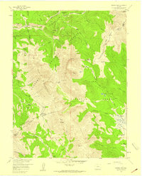
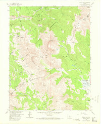
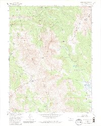
Editions of this 1957 Boreas Pass Map
4 editions found
Other maps of this area

1889 · Leadville
USGS Topo · 1:125,000

1891 · Leadville
USGS Topo · 1:125,000

1924 · Montezuma
USGS Topo · 1:62,500

1926 · Montezuma
USGS Topo · 1:62,500

1929 · Dillon
USGS Topo · 1:62,500

1933 · Montezuma
USGS Topo · 1:62,500

1934 · Climax
USGS Topo · 1:48,000

1934 · Dillon
USGS Topo · 1:62,500

1937 · Como
USGS Topo · 1:62,500

1938 · Mt. Lincoln
USGS Topo · 1:48,000