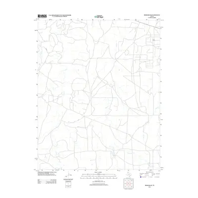
2012 Map of Borger SE
USGS Topo · Published 2012About this map
The Garner Oil Field anchors the northeastern corner of this landscape, illustrating the industrial footprint within this part of Hutchinson County. The terrain is defined by a complex network of drainage systems, most notably the multiple branches of Dixon Cr, including its West, Middle, and East forks. These waterways carve through the plains, creating a distinct topographical pattern that dictates the placement of local infrastructure like Co RD 29.
Find a feature on this map
10 named features on this map. Tap any name to fly to it.
Don’t see what you’re looking for? This feature index may not catch every label — zoom into the map to look around manually.
Map Details
Editions of this 2012 Borger SE Map
This is the sole edition of this map. No revisions or reprints were ever made.
Other maps of this area

1953 · Borger SE
USGS Topo · 1:24,000

1953 · McBride
USGS Topo · 1:24,000

1953 · Phillips
USGS Topo · 1:24,000

1953 · Borger
USGS Topo · 1:24,000

1954 · Amarillo
USGS Topo · 1:250,000

1958 · Amarillo
USGS Topo · 1:250,000

1963 · Skellytown
USGS Topo · 1:24,000

1965 · White Deer
USGS Topo · 1:24,000

1965 · Abell
USGS Topo · 1:24,000

1966 · Cuyler
USGS Topo · 1:24,000