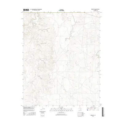
2016 Map of Borger SE
USGS Topo · Published 2016About this map
The complex drainage network of the High Plains takes center stage in this 2016 survey of Hutchinson County. Numerous tributaries carve into the landscape, with Dixon Cr and its extensive branches, including Middle Dixon Cr, W Dixon Cr, and E Dixon Cr, dominating the western half of the quadrangle. These seasonal watercourses illustrate the intricate erosional patterns characteristic of the Texas Panhandle. To the east, the terrain is defined by Bear Cr, along with W Fork Bear Cr and E Fork Bear Cr, which provide a contrast to the southern flow of Spring Cr. Though largely dominated by natural features, the intersection of 152 and E Camp Rd in the southeast corner provides a point of human orientation within this rugged creek system.
Find a feature on this map
10 named features on this map. Tap any name to fly to it.
Don’t see what you’re looking for? This feature index may not catch every label — zoom into the map to look around manually.
Map Details
Editions of this 2016 Borger SE Map
This is the sole edition of this map. No revisions or reprints were ever made.
Other maps of this area

1953 · Borger SE
USGS Topo · 1:24,000

1953 · McBride
USGS Topo · 1:24,000

1953 · Phillips
USGS Topo · 1:24,000

1953 · Borger
USGS Topo · 1:24,000

1954 · Amarillo
USGS Topo · 1:250,000

1958 · Amarillo
USGS Topo · 1:250,000

1963 · Skellytown
USGS Topo · 1:24,000

1965 · White Deer
USGS Topo · 1:24,000

1965 · Abell
USGS Topo · 1:24,000

1966 · Cuyler
USGS Topo · 1:24,000