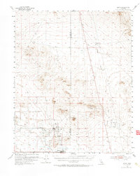
1954 Map of Boron
USGS Topo · Published 1971About this map
Baker and West Baker define the mid-century industrial and military landscape of this Mojave Desert region, shown here during a period of significant growth. The area is dominated by the extraction industry, evidenced by the Jennifer Mine, extensive Tailings, and a large Tailings Pond near the settlement. Local infrastructure reflects a self-contained community, featuring the Gephart School, a Swimming Pool, and a Radio Range Station to support both civilian and burgeoning defense activities.
Find a feature on this map
18 named features on this map. Tap any name to fly to it.
Don’t see what you’re looking for? This feature index may not catch every label — zoom into the map to look around manually.
Map Details
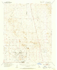
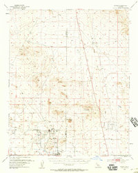
Editions of this 1954 Boron Map
3 editions found
Other maps of this area

1903 · Randsburg
USGS Topo · 1:62,500

1911 · Randsburg
USGS Topo · 1:62,500

1912 · Randsburg
USGS Topo · 1:62,500

1915 · Searles Lake
USGS Topo · 1:250,000

1932 · Barstow
USGS Topo · 1:125,000

1934 · Barstow
USGS Topo · 1:125,000

1937 · Kramer
USGS Topo · 1:48,000

1937 · Rogers Lake
USGS Topo · 1:48,000

1942 · Kramer
USGS Topo · 1:62,500

1942 · Rogers Lake
USGS Topo · 1:62,500