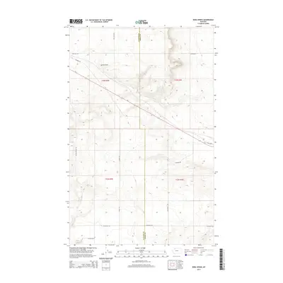
2014 Map of Boru Spring
USGS Topo · Published 2014About this map
Boru Spring sits at the heart of this landscape where Glacier and Toole counties meet, marking a vital water source in this high plains environment. The terrain is defined by the winding path of Spring Coulee and a network of rural roads that often bear the names of local families, such as Hjartarson Rd and Mel Hegg Rd. The presence of Refinery Rd in the northwestern quadrant suggests the historical importance of the energy industry to this region's economy.
Find a feature on this map
18 named features on this map. Tap any name to fly to it.
Don’t see what you’re looking for? This feature index may not catch every label — zoom into the map to look around manually.
Map Details
Editions of this 2014 Boru Spring Map
This is the sole edition of this map. No revisions or reprints were ever made.
Other maps of this area

1907 · Blackfoot Res.
USGS Topo · 1:48,000

1909 · Cut Bank
USGS Topo · 1:125,000

1912 · Cut Bank
USGS Topo · 1:125,000

1920 · Dupuyer
USGS Topo · 1:125,000

1934 · Lake Frances
USGS Topo · 1:48,000

1934 · Valier
USGS Topo · 1:62,500

1937 · Valier
USGS Topo · 1:62,500

1937 · Lake Frances
USGS Topo · 1:62,500

1960 · Cut Bank
USGS Topo · 1:250,000

1963 · Cut Bank
USGS Topo · 1:250,000