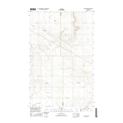
2017 Map of Boru Spring
USGS Topo · Published 2017About this map
Boru Spring and Spring Coulee anchor this high-plains landscape along the border of Glacier and Toole counties. The 2017 survey reveals a grid-based rural infrastructure defined by a network of family-named roads that reflect the area's agricultural and industrial heritage. Evidence of local industry is present near the northwestern corner along Refinery Rd, while long-established ranching and farming property boundaries are marked by thoroughfares such as Mrs Luedtke Rd, Mel Hegg Rd, and Hjartarson Rd. The terrain is characterized by the winding drainage of the coulee and the vital water source of the namesake spring, which contrast with the straight-line precision of the township and range lines. Sullivan Bridge Rd and E Marias Rd provide essential transit across the undulating prairie, serving as primary connectors in this sparsely populated region of Northern Montana.
Find a feature on this map
17 named features on this map. Tap any name to fly to it.
Don’t see what you’re looking for? This feature index may not catch every label — zoom into the map to look around manually.
Map Details
Editions of this 2017 Boru Spring Map
This is the sole edition of this map. No revisions or reprints were ever made.
Other maps of this area

1907 · Blackfoot Res.
USGS Topo · 1:48,000

1909 · Cut Bank
USGS Topo · 1:125,000

1912 · Cut Bank
USGS Topo · 1:125,000

1920 · Dupuyer
USGS Topo · 1:125,000

1934 · Lake Frances
USGS Topo · 1:48,000

1934 · Valier
USGS Topo · 1:62,500

1937 · Valier
USGS Topo · 1:62,500

1937 · Lake Frances
USGS Topo · 1:62,500

1960 · Cut Bank
USGS Topo · 1:250,000

1963 · Cut Bank
USGS Topo · 1:250,000