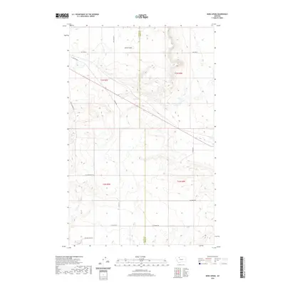
2020 Map of Boru Spring
USGS Topo · Published 2020About this map
Boru Spring sits at the center of this 2020 landscape, marking a vital water source along the border of Glacier and Toole counties. The area is defined by a sparse but deliberate network of rural roads named for the families and local industry that shaped this portion of the northern plains. To the north, Spring Coulee cuts through the terrain, while routes like Refinery Rd hint at the energy infrastructure prevalent in this region. The section lines of t33n r5w and surrounding townships organize a land of wide-open spaces, where ranching and resource extraction routes predominate. Genealogists and local historians can trace legacy landholding patterns through names like Mrs Luedtke Rd, Hjartarson Rd, and Mel Hegg Rd, which ground the geographic coordinates in personal family history.
Find a feature on this map
16 named features on this map. Tap any name to fly to it.
Don’t see what you’re looking for? This feature index may not catch every label — zoom into the map to look around manually.
Map Details
Editions of this 2020 Boru Spring Map
This is the sole edition of this map. No revisions or reprints were ever made.
Other maps of this area

1907 · Blackfoot Res.
USGS Topo · 1:48,000

1909 · Cut Bank
USGS Topo · 1:125,000

1912 · Cut Bank
USGS Topo · 1:125,000

1920 · Dupuyer
USGS Topo · 1:125,000

1934 · Lake Frances
USGS Topo · 1:48,000

1934 · Valier
USGS Topo · 1:62,500

1937 · Valier
USGS Topo · 1:62,500

1937 · Lake Frances
USGS Topo · 1:62,500

1960 · Cut Bank
USGS Topo · 1:250,000

1963 · Cut Bank
USGS Topo · 1:250,000