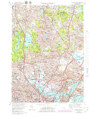
1971 Map of Boston North
USGS Topo · Published 1979About this map
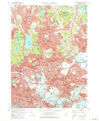
Middlesex Fells Reservation and the surrounding suburban expansion of the northern Boston metropolitan area dominate this 1971 study. The landscape is a dense mixture of residential settlements such as Melrose, Malden, and Everett intertwined with significant institutional footprints. Higher education is represented by the campuses of Tufts University and Harvard University, while the region's industrial heritage is anchored by the Saugus Ironworks National Historic Site. Transport infrastructure is heavily emphasized, from the Boston and Maine railroad lines to the complex highway networks including the Mystic River Bridge. Large-scale public works and open spaces are prominent, including the South Reservoir, Spot Pond, and the sprawling Woodlawn Cemetery. The map also captures specialized land use of the era, such as the Saugus Race Track, Suffolk Downs, and the U S Naval Hospital along the Island End River.
Find a feature on this map
158 named features on this map. Tap any name to fly to it.
Don’t see what you’re looking for? This feature index may not catch every label — zoom into the map to look around manually.
Map Details
Editions of this 1971 Boston North Map
2 editions found
Other maps of this area

1886 · Lawrence
USGS Topo · 1:62,500

1888 · Lawrence
USGS Topo · 1:62,500

1888 · Salem
USGS Topo · 1:62,500

1892 · Boston Bay
USGS Topo · 1:62,500

1893 · Salem
USGS Topo · 1:62,500

1893 · Boston
USGS Topo · 1:62,500

1893 · Lawrence
USGS Topo · 1:62,500

1903 · Boston
USGS Topo · 1:62,500

1903 · Boston Bay
USGS Topo · 1:62,500

1917 · Salem
USGS Topo · 1:62,500