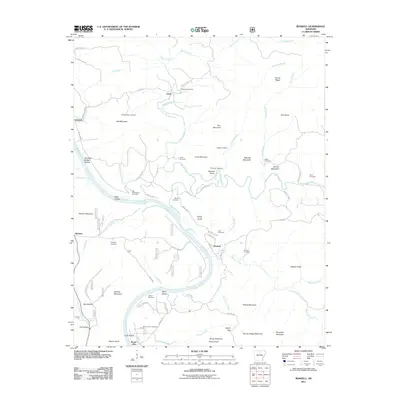
2011 Map of Boswell
USGS Topo · Published 2011About this map
The White River carves a deep, winding path through this corner of the Ozarks, dictating the placement of small river settlements and family homesteads. The small village of Mount Olive anchors the southern reaches of the map, while Boswell and Optimus serve as central nodes for the surrounding rural road network. The landscape is defined by its numerous named summits and gaps, including the prominent Hall Mountain, Turkey Knob, and the distinctive formations of Devils Backbone and Devils Knob near the southern border.
Find a feature on this map
83 named features on this map. Tap any name to fly to it.
Don’t see what you’re looking for? This feature index may not catch every label — zoom into the map to look around manually.
Map Details
Editions of this 2011 Boswell Map
This is the sole edition of this map. No revisions or reprints were ever made.
Other maps of this area

1890 · Batesville
USGS Topo · 1:125,000

1890 · Mountain Home
USGS Topo · 1:125,000

1891 · Mountain Home
USGS Topo · 1:125,000

1891 · Batesville
USGS Topo · 1:125,000

1892 · Mountain View
USGS Topo · 1:125,000

1894 · Mountain View
USGS Topo · 1:125,000

1894 · Mountain Home
USGS Topo · 1:125,000

1945 · Harrison
USGS Topo · 1:250,000

1949 · Harrison
USGS Topo · 1:250,000

1951 · Melbourne
USGS Topo · 1:62,500