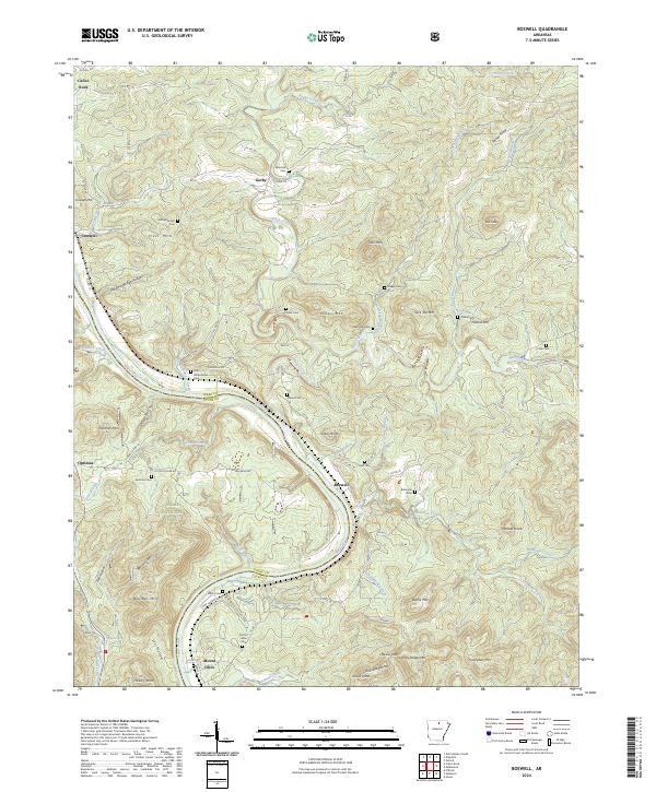
2024 Map of Boswell
USGS Topo · Published 2024About this map
The White River carves a deep, winding course through this portion of the Ozark highlands, serving as the border between Izard and Stone counties. High ridges and knobs define the landscape, where smaller settlements like Boswell and Mount Olive sit near the river banks, while Calico Rock occupies the northwestern corner. The topography is deeply incised by drainages such as Piney Creek and Mill Creek, creating a series of isolated uplands including Twin Mtn and Turkey Knob. A significant portion of the western territory is protected within the Ozark National Forest. For those researching local families, the map identifies numerous small burial grounds, including the Old Whitehouse Cem and Jeffery Cem, which are scattered throughout the hollows and ridge tops, often located near old county roads like Co RD 196 and Co RD 202.
Find a feature on this map
100 named features on this map. Tap any name to fly to it.
Don’t see what you’re looking for? This feature index may not catch every label — zoom into the map to look around manually.
Map Details
Editions of this 2024 Boswell Map
This is the sole edition of this map. No revisions or reprints were ever made.
Other maps of this area

1890 · Batesville
USGS Topo · 1:125,000

1890 · Mountain Home
USGS Topo · 1:125,000

1891 · Mountain Home
USGS Topo · 1:125,000

1891 · Batesville
USGS Topo · 1:125,000

1892 · Mountain View
USGS Topo · 1:125,000

1894 · Mountain View
USGS Topo · 1:125,000

1894 · Mountain Home
USGS Topo · 1:125,000

1945 · Harrison
USGS Topo · 1:250,000

1949 · Harrison
USGS Topo · 1:250,000

1951 · Melbourne
USGS Topo · 1:62,500