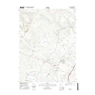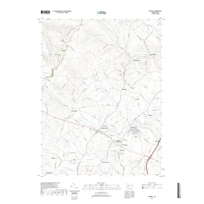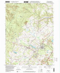
1997 Map of Boswell
USGS Topo · Published 2000About this map
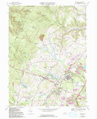
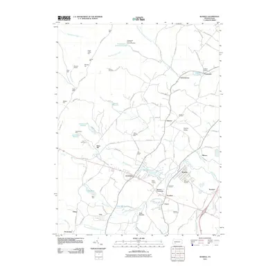
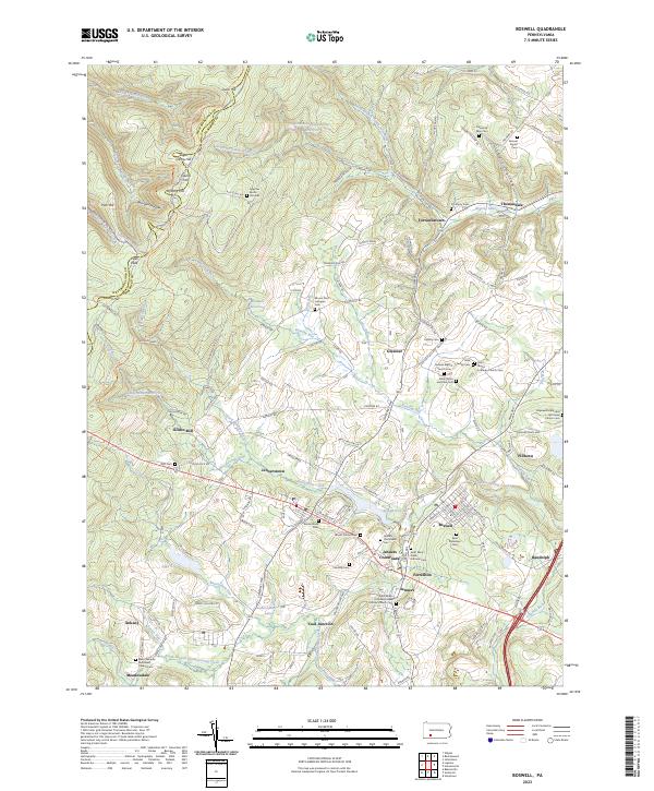
The Somerset County coalfields meet the ridges of Laurel Hill in this late-twentieth-century study of the Pennsylvania landscape. The borough of Boswell serves as a focal point, surrounded by a transition from heavy industrial activity to protected conservation land. A legacy of extraction is visible through numerous Strip Mine and Reclaimed Strip Mine labels, indicating the evolving environmental footprint of the region's mining economy. To the west, the terrain rises into Laurel Ridge State Park and State Game Lands No 42, where water features like Beaverdam Run and Pickings Run drain the forested slopes.
Find a feature on this map
70 named features on this map. Tap any name to fly to it.
Don’t see what you’re looking for? This feature index may not catch every label — zoom into the map to look around manually.
Map Details
Editions of this 1997 Boswell Map
This is the sole edition of this map. No revisions or reprints were ever made.
Historical Maps of Boswell Through Time
8 maps found