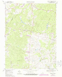
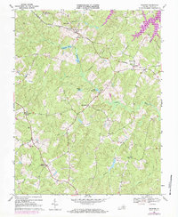
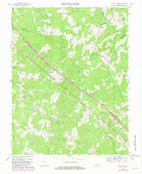
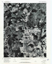
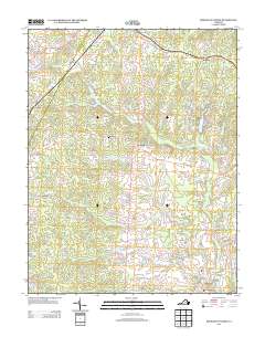
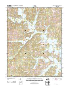
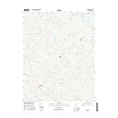
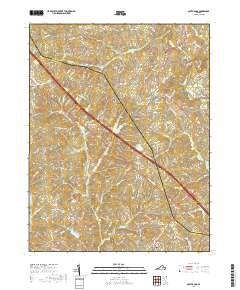
1970 Map of Boswells Tavern
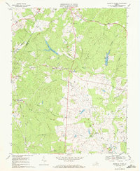
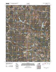
USGS Topo · Published 1987About this map
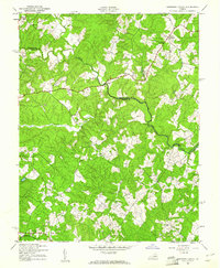
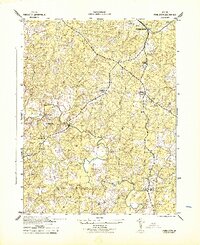
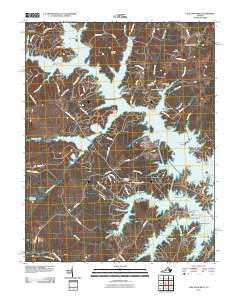
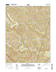
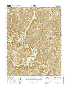
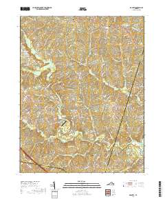
Boswells Tavern serves as a historic focal point at the junction of several primary roads in this central Virginia landscape during the late twentieth century. The terrain is defined by the winding course of the South Anna River and the headwaters of numerous creeks like Lickinghole Creek and Camp Creek. This era of the map captures the rural community structure through a dense network of country churches, including Green Springs Ch, Free Union Ch, and St Johns Chapel, which often served as the anchor for local settlements. Further west, the CSX railroad corridor skirts the northern boundary near Meltons and Lindsay. The creation of Lake Gordonsville along the South Anna River and the smaller Izac Lake illustrate the development of water resources within the Albemarle and Louisa county borderlands.
Find a feature on this map
45 named features on this map. Tap any name to fly to it.
Don’t see what you’re looking for? This feature index may not catch every label — zoom into the map to look around manually.
Map Details
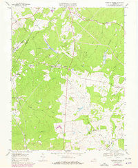
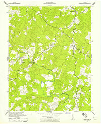
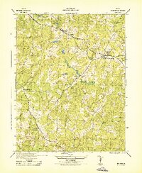
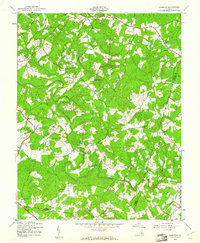
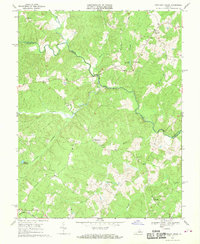
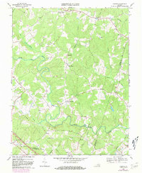
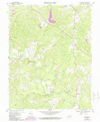
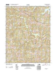
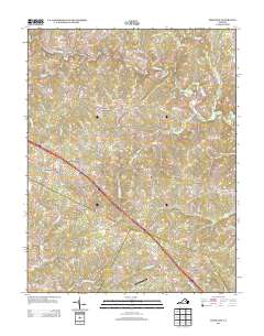
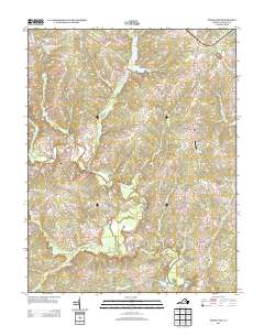
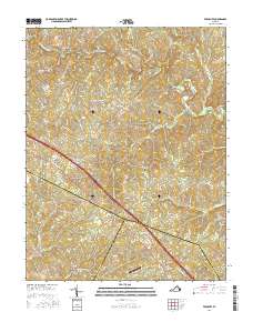
Editions of this 1970 Boswells Tavern Map
4 editions found
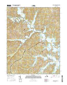
Historical Maps of Medlock Through Time
53 maps found
1942 Buckner
Louisa County, VA
1942 Contrary Creek
Louisa County, VA
1942 Pendleton
Louisa County, VA
1943 Buckner
Louisa County, VA
1943 Dabneys
Louisa County, VA
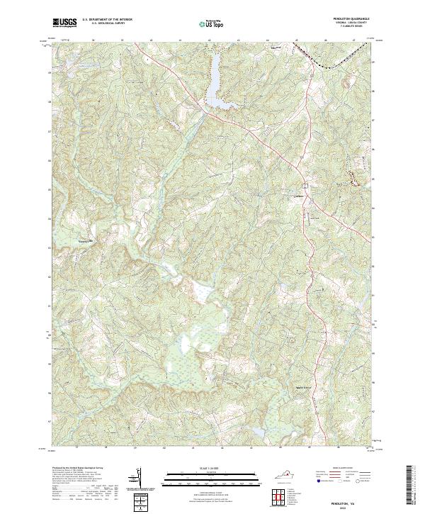
1943 Pendleton
Louisa County, VA
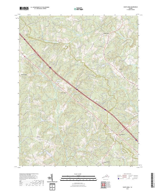
1943 South Anna
Louisa County, VA
1944 Dabneys
Louisa County, VA
1944 South Anna
Louisa County, VA
1968 Buckner
Louisa County, VA
1968 Contrary Creek
Louisa County, VA
1968 Dabneys
Louisa County, VA
1968 Pendleton
Louisa County, VA
1968 South Anna
Louisa County, VA
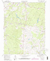
1970 Boswells Tavern
Louisa County, VA
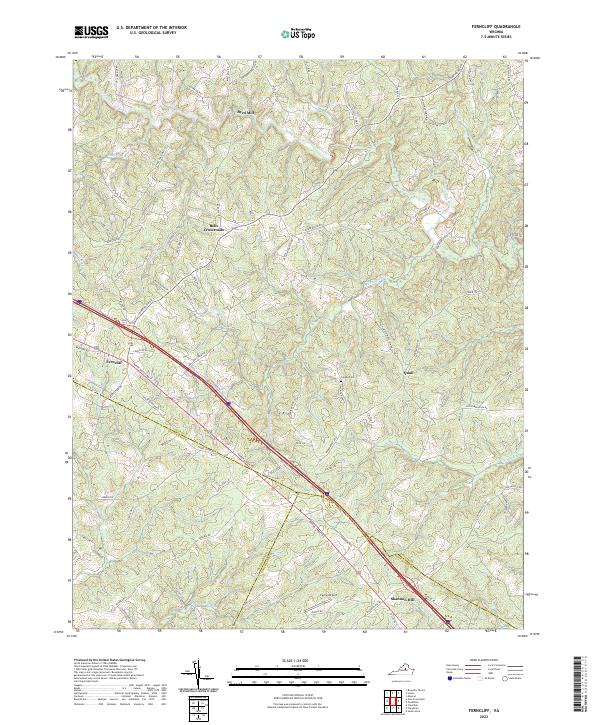
1970 Ferncliff
Louisa County, VA
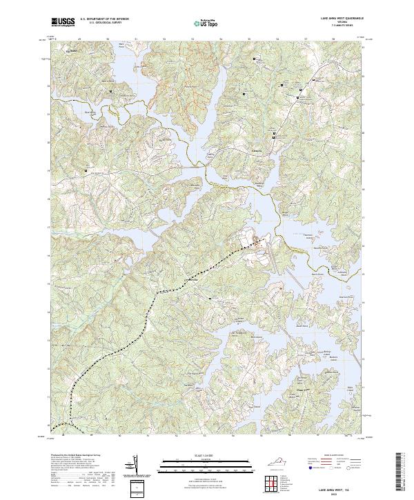
1973 Lake Anna West
Louisa County, VA
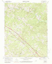
1977 Boswells Tavern
Louisa County, VA
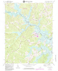
2010 Boswells Tavern
Louisa County, VA
2010 Buckner
Louisa County, VA
2010 Dabneys
Louisa County, VA
2010 Lake Anna West
Louisa County, VA
2010 South Anna
Louisa County, VA
2011 Ferncliff
Louisa County, VA
2011 Pendleton
Louisa County, VA
2013 Boswells Tavern
Louisa County, VA
2013 Buckner
Louisa County, VA
2013 Dabneys
Louisa County, VA
2013 Ferncliff
Louisa County, VA
2013 Lake Anna West
Louisa County, VA
2013 Pendleton
Louisa County, VA
2013 South Anna
Louisa County, VA
2016 Boswells Tavern
Louisa County, VA
2016 Buckner
Louisa County, VA
2016 Dabneys
Louisa County, VA
2016 Ferncliff
Louisa County, VA
2016 Lake Anna West
Louisa County, VA
2016 Pendleton
Louisa County, VA
2016 South Anna
Louisa County, VA
2019 Boswells Tavern
Louisa County, VA
2019 Buckner
Louisa County, VA
2019 Dabneys
Louisa County, VA
2019 Ferncliff
Louisa County, VA
2019 Lake Anna West
Louisa County, VA
2019 Pendleton
Louisa County, VA
2019 South Anna
Louisa County, VA
2022 Boswells Tavern
Louisa County, VA
2022 Buckner
Louisa County, VA
2022 Dabneys
Louisa County, VA
2022 Ferncliff
Louisa County, VA
2022 Lake Anna West
Louisa County, VA
2022 Pendleton
Louisa County, VA
2022 South Anna
Louisa County, VA