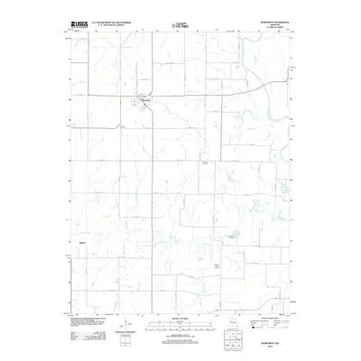
2012 Map of Bosworth
USGS Topo · Published 2012About this map
Bosworth serves as the primary hub of this agricultural landscape in north-central Missouri, characterized by a complex network of waterways feeding into the Grand River. The terrain is defined by the winding course of Big Creek and its many tributaries, including Snow Branch, Darr Branch, and Peavine Branch. These stream systems have shaped the placement of local infrastructure, including Lakeview Dam and the various county roads that navigate the drainage basins.
Find a feature on this map
45 named features on this map. Tap any name to fly to it.
Don’t see what you’re looking for? This feature index may not catch every label — zoom into the map to look around manually.
Map Details
Editions of this 2012 Bosworth Map
This is the sole edition of this map. No revisions or reprints were ever made.
Other maps of this area

1890 · Marshall
USGS Topo · 1:125,000

1892 · Marshall
USGS Topo · 1:125,000

1901 · Marshall
USGS Topo · 1:125,000

1924 · Hale
USGS Topo · 1:62,500

1949 · Mendon
USGS Topo · 1:24,000

1950 · Hale
USGS Topo · 1:24,000

1951 · Hale
USGS Topo · 1:24,000

1951 · Bosworth
USGS Topo · 1:24,000

1951 · Miami
USGS Topo · 1:24,000

1951 · Brunswick West
USGS Topo · 1:24,000