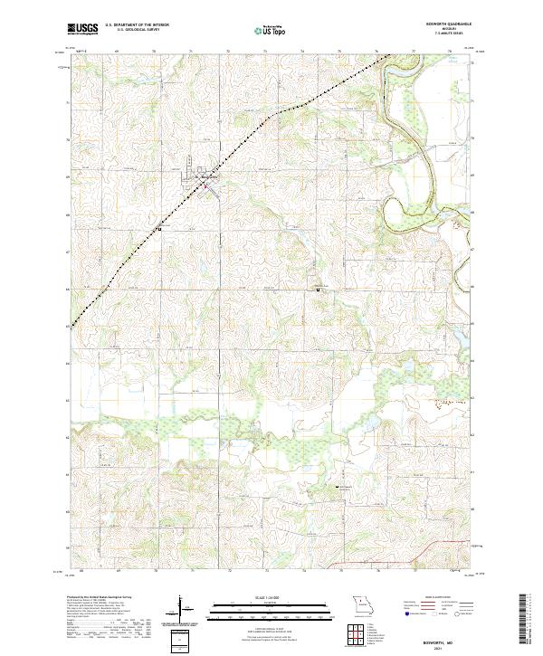
2021 Map of Bosworth
USGS Topo · Published 2021About this map
Bosworth serves as the primary hub of this North Central Missouri landscape, situated at the junction of State Hwy M and State Highway 139. The town's grid is clearly defined by local thoroughfares such as S Kansas Ave and Becks Ave, reflecting a typical agricultural service center pattern. The terrain is characterized by a complex drainage network where the Grand River flows along the eastern boundary, carving a winding path that creates distinctive features like Potter Slough and Grace Lake.
Find a feature on this map
65 named features on this map. Tap any name to fly to it.
Don’t see what you’re looking for? This feature index may not catch every label — zoom into the map to look around manually.
Map Details
Editions of this 2021 Bosworth Map
This is the sole edition of this map. No revisions or reprints were ever made.
Other maps of this area

1890 · Marshall
USGS Topo · 1:125,000

1892 · Marshall
USGS Topo · 1:125,000

1901 · Marshall
USGS Topo · 1:125,000

1924 · Hale
USGS Topo · 1:62,500

1949 · Mendon
USGS Topo · 1:24,000

1950 · Hale
USGS Topo · 1:24,000

1951 · Hale
USGS Topo · 1:24,000

1951 · Bosworth
USGS Topo · 1:24,000

1951 · Miami
USGS Topo · 1:24,000

1951 · Brunswick West
USGS Topo · 1:24,000