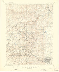
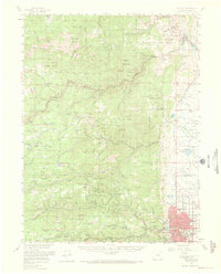
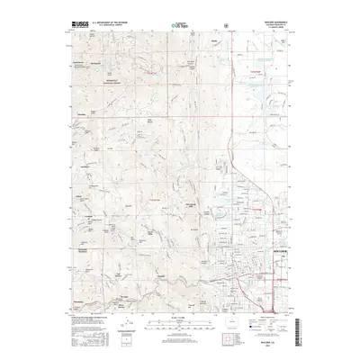
1957 Map of Boulder
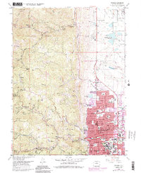
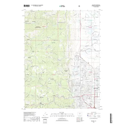
USGS Topo · Published 1964About this map
The mountain communities of Jamestown and Gold Hill anchor this mid-century look at the Front Range, where a complex network of gulches and canyons supported a storied mining economy. The landscape is marked by the industrial legacy of the region, visible through features like the Argo Mine, the Alaska Hill mining area, and the Golden Age Hill workings. Significant local history is preserved at the Altona Cem and the Bunce School, while the social fabric of the era is evidenced by the presence of the Tahosa Boy Scout Camp and various mountain retreats like the Lodge of the Pines.
Find a feature on this map
133 named features on this map. Tap any name to fly to it.
Don’t see what you’re looking for? This feature index may not catch every label — zoom into the map to look around manually.
Map Details
Editions of this 1957 Boulder Map
3 editions found
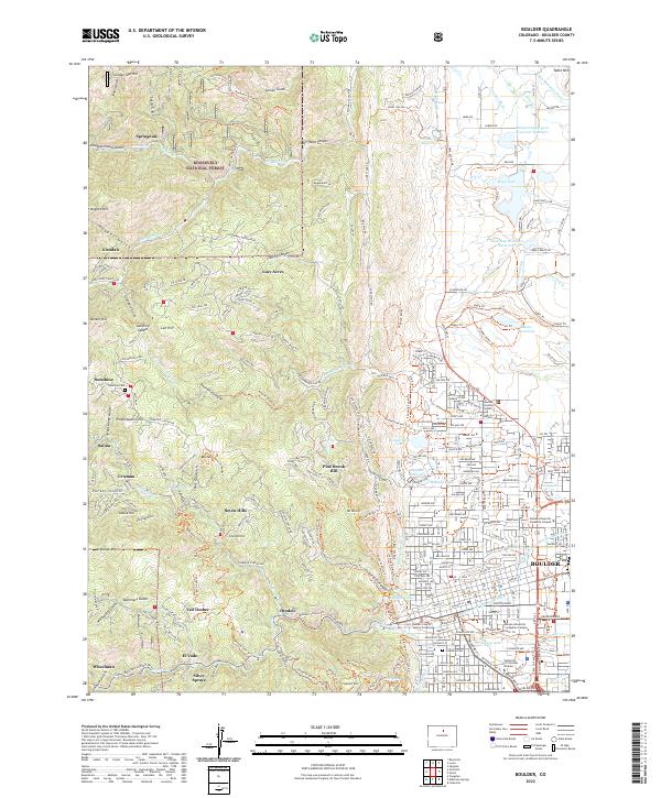
Historical Maps of Boulder Through Time
10 maps found

1902 Boulder
Boulder County, CO
1904 Boulder
Boulder County, CO
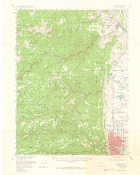
1957 Boulder
Boulder County, CO
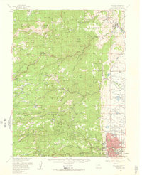
1957 Boulder
Boulder County, CO
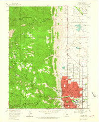
1966 Boulder
Boulder County, CO
2011 Boulder
Boulder County, CO
2013 Boulder
Boulder County, CO
2016 Boulder
Boulder County, CO
2019 Boulder
Boulder County, CO
2022 Boulder
Boulder County, CO