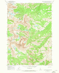
1964 Map of Boulder Chain Lakes
USGS Topo · Published 1971About this map
White Cloud Peaks dominate this 1964 survey of the central Idaho high country, where the Challis National Forest and Sawtooth National Forest converge. The landscape is defined by a dense concentration of alpine water bodies, most notably the Boulder Chain Lakes and the Big Boulder Lakes system, including Sapphire Lake and Walker Lake. At the heart of the region stands Castle Peak, situated just south of the Castle Mine, indicating the sparse but present industrial history within these high basins.
Find a feature on this map
39 named features on this map. Tap any name to fly to it.
Don’t see what you’re looking for? This feature index may not catch every label — zoom into the map to look around manually.
Map Details
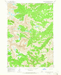
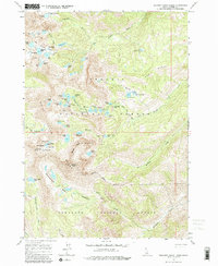
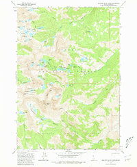
Editions of this 1964 Boulder Chain Lakes Map
4 editions found
Other maps of this area

1895 · Hailey
USGS Topo · 1:125,000

1897 · Hailey
USGS Topo · 1:125,000

1900 · Sawtooth
USGS Topo · 1:125,000

1919 · Custer
USGS Topo · 1:125,000

1922 · Custer
USGS Topo · 1:125,000

1929 · Bayhorse
USGS Topo · 1:125,000

1955 · Hailey
USGS Topo · 1:250,000

1957 · Challis
USGS Topo · 1:250,000

1959 · Hailey
USGS Topo · 1:250,000

1960 · Challis
USGS Topo · 1:250,000