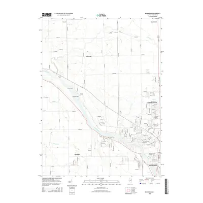
2015 Map of Bourbonnais
USGS Topo · Published 2015About this map
The Kankakee River winds through this region, shaping the landscape and settlement patterns of Kankakee County. Along its banks, distinctive river features like Willow Island and Langham Island sit near the small communities of Altorf and Limestone. The map reveals a transition from these quieter riverbank settlements to the growing suburban centers of Bourbonnais, Bradley, and Kankakee in the southeast.
Find a feature on this map
146 named features on this map. Tap any name to fly to it.
Don’t see what you’re looking for? This feature index may not catch every label — zoom into the map to look around manually.
Map Details
Editions of this 2015 Bourbonnais Map
This is the sole edition of this map. No revisions or reprints were ever made.
Other maps of this area

1892 · Wilmington
USGS Topo · 1:62,500

1918 · Wilmington
USGS Topo · 1:62,500

1922 · Kankakee
USGS Topo · 1:62,500

1923 · Herscher
USGS Topo · 1:62,500

1924 · Kankakee
USGS Topo · 1:62,500

1925 · Herscher
USGS Topo · 1:62,500

1949 · Peotone
USGS Topo · 1:62,500

1953 · Peotone
USGS Topo · 1:24,000

1953 · Wilton Center
USGS Topo · 1:24,000

1953 · Symerton
USGS Topo · 1:24,000