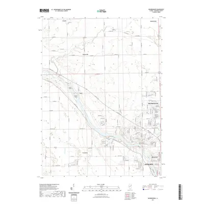
2021 Map of Bourbonnais
USGS Topo · Published 2021About this map
The Kankakee River carves a deep valley through this part of Kankakee County, passing notable landmarks like Willow Island and Langham Island as it flows toward the southwest. This area preserves a legacy of early river-oriented settlement and rural burial grounds, including the Maternity Blessed Virgin Mary Cem in the growing community of Bourbonnais and the remote Deselm Cem to the north. Smaller, often overlooked locales such as Flickerville, Altorf, and Deselm occupy the surrounding prairie, connected by a rigid grid of rural routes like W 7000N Rd. North of the river, the landscape is defined by the winding course of Rock Creek, while the southern reaches show the early residential expansion of Bradley and Kankakee moving toward the open fields of Limestone.
Find a feature on this map
100 named features on this map. Tap any name to fly to it.
Don’t see what you’re looking for? This feature index may not catch every label — zoom into the map to look around manually.
Map Details
Editions of this 2021 Bourbonnais Map
This is the sole edition of this map. No revisions or reprints were ever made.
Other maps of this area

1892 · Wilmington
USGS Topo · 1:62,500

1918 · Wilmington
USGS Topo · 1:62,500

1922 · Kankakee
USGS Topo · 1:62,500

1923 · Herscher
USGS Topo · 1:62,500

1924 · Kankakee
USGS Topo · 1:62,500

1925 · Herscher
USGS Topo · 1:62,500

1949 · Peotone
USGS Topo · 1:62,500

1953 · Peotone
USGS Topo · 1:24,000

1953 · Wilton Center
USGS Topo · 1:24,000

1953 · Symerton
USGS Topo · 1:24,000