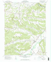
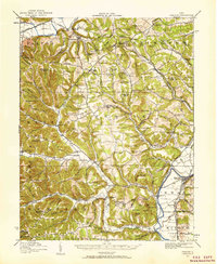
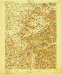
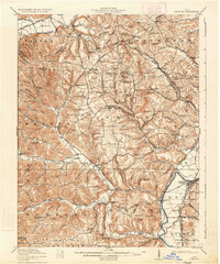
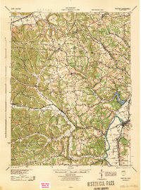
1961 Map of Bourneville
USGS Topo · Published 1962About this map
Paint Creek winds through the heart of the Valley, anchoring a landscape where agricultural bottoms meet the steep ridges of the Ross County uplands. In the early 1960s, the community of Bourneville served as a local hub near the junction of Upper Twin Creek and the main channel. The settlement pattern here reflects a deep connection to the topography, with family-named features like Asher Hill, McDonald Hill, and Davis Hill defining the surrounding heights.
Find a feature on this map
64 named features on this map. Tap any name to fly to it.
Don’t see what you’re looking for? This feature index may not catch every label — zoom into the map to look around manually.
Map Details
Editions of this 1961 Bourneville Map
This is the sole edition of this map. No revisions or reprints were ever made.
Other maps of this area
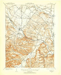
1912 · Roxabell
USGS Topo · 1:62,500
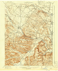
1914 · Roxabell
USGS Topo · 1:62,500
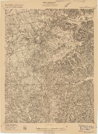
1915 · Bainbridge
USGS Topo · 1:48,000
1915 · Piketon
USGS Topo · 1:62,500
1917 · Bainbridge
USGS Topo · 1:62,500
1917 · Piketon
USGS Topo · 1:62,500
1917 · Greenfield
USGS Topo · 1:62,500
1944 · Piketon
USGS Topo · 1:62,500
1944 · Greenfield
USGS Topo · 1:62,500
1944 · Roxabell
USGS Topo · 1:62,500