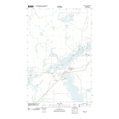
2010 Map of Bovey
USGS Topo · Published 2010About this map
Industrial excavations and the iron-mining heritage of the Mesabi Range define the landscape around Bovey, Coleraine, and Taconite. This 2010 survey documents a massive concentration of open-pit sites, including the Canisteo Mine, Morrison Mine, and Walker Mine, which sit adjacent to established residential centers. The map illustrates how these communities grew alongside the pits, with the Taconite Post Office and Bovey Post Office serving as central nodes. To the south, the Trout Lake Tailings Basin reveals the extensive footprint of mineral processing on the local hydrology. Beyond the mines, recreational and civic life is captured through features like the Mount Itasca Ski Area, Eagle Ridge Golf Course, and Lakeview Cemetery. The northern section transitions into a dense network of water bodies such as Shamrock Lake and Dirty Mike Lake, while the Prairie River Dam regulates the water flow westward through the Prairie River.
Find a feature on this map
61 named features on this map. Tap any name to fly to it.
Don’t see what you’re looking for? This feature index may not catch every label — zoom into the map to look around manually.
Map Details
Editions of this 2010 Bovey Map
This is the sole edition of this map. No revisions or reprints were ever made.
Other maps of this area

1920 · Trout Lake
USGS Topo · 1:62,500

1952 · Calumet
USGS Topo · 1:24,000

1952 · Bovey
USGS Topo · 1:24,000

1953 · Cohasset East
USGS Topo · 1:24,000

1953 · Grand Rapids
USGS Topo · 1:24,000

1954 · Hibbing
USGS Topo · 1:250,000

1957 · Hibbing
USGS Topo · 1:250,000

1958 · Hibbing
USGS Topo · 1:250,000

1964 · Hibbing
USGS Topo · 1:250,000

1969 · La Prairie
USGS Topo · 1:24,000