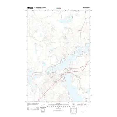
2013 Map of Bovey
USGS Topo · Published 2013About this map
Taconite, Bovey, and Coleraine form a cluster of settlements defined by their proximity to the Mesabi Range iron mining operations. The landscape is heavily altered by industry, dominated by massive engineered features such as the Arcturus Tailings Basin, Hunner Tailings Basin, and the Buckeye Two Tailings Basin. These basins sit alongside natural water bodies like Moonshine Lake and Island Lake, creating a unique topography where industrial reclamation and recreation coexist. Local history is anchored at the Lakeview Cem and community spaces like the Bovey City RV Park. Recreational development is evident near the towns, featuring the Mount Itasca Ski Area and Eagle Ridge Golf Course, while the northern portion of the quadrangle remains dominated by the Prairie River and smaller lakes such as Dirty Mike Lake and Shamrock Lake.
Find a feature on this map
54 named features on this map. Tap any name to fly to it.
Don’t see what you’re looking for? This feature index may not catch every label — zoom into the map to look around manually.
Map Details
Editions of this 2013 Bovey Map
This is the sole edition of this map. No revisions or reprints were ever made.
Other maps of this area
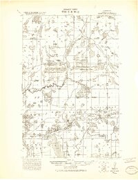
1920 · Trout Lake
USGS Topo · 1:62,500
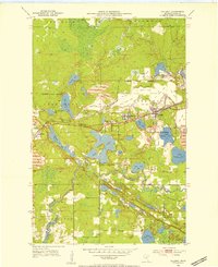
1952 · Calumet
USGS Topo · 1:24,000
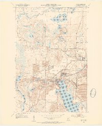
1952 · Bovey
USGS Topo · 1:24,000
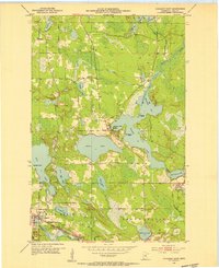
1953 · Cohasset East
USGS Topo · 1:24,000
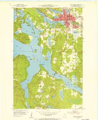
1953 · Grand Rapids
USGS Topo · 1:24,000

1954 · Hibbing
USGS Topo · 1:250,000

1957 · Hibbing
USGS Topo · 1:250,000

1958 · Hibbing
USGS Topo · 1:250,000

1964 · Hibbing
USGS Topo · 1:250,000
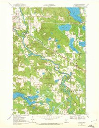
1969 · La Prairie
USGS Topo · 1:24,000